Swiss3D PRO!
-
Category Travel
-
Size 642 MB
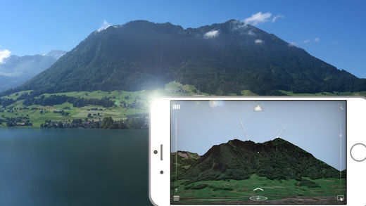
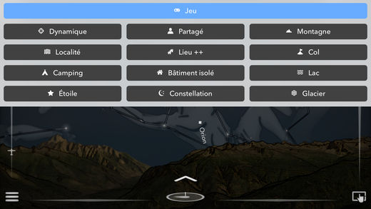
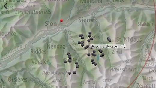
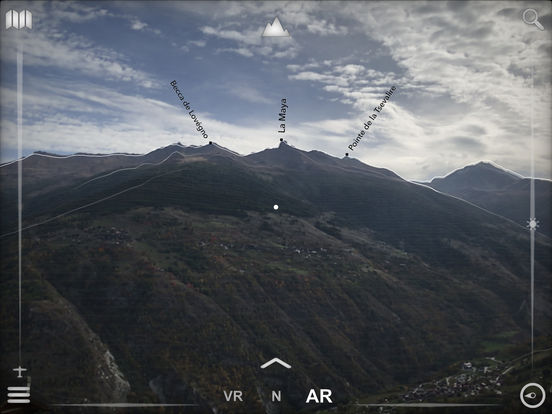
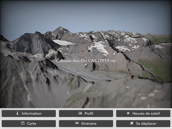
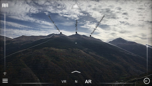
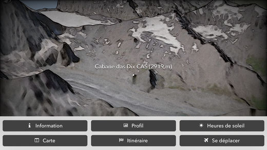
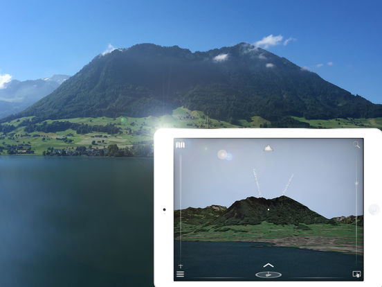
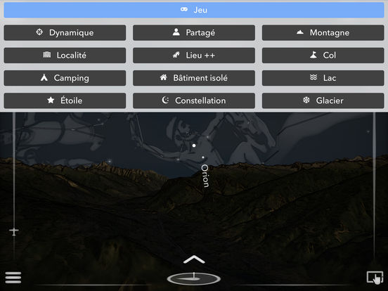
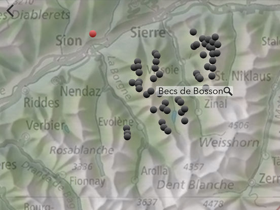
Appreciated by Le Nouvelliste, mac4ever.com, iPhone-blog.ch and perhaps you - At which altitude and distance is the cliff over there?- What is the name of this small town below?- How is called the peak we are seeing?- What is the altitude of the Grimsel pass?- Which mountain is the highest of the region?- Is there a camping or a mountain refuge nearby?- What is the name of this glacier or that lake?- Is it the Cassiopea constellation right over this peak?- The region on this hill has a lot of sun?- How much walk time is needed to reach that crest, is it steep?- Is there any message posted by somebody in this area?- I am asking myself where is the Mattherhorn from here?- Is my game record still unbeatenIt is a question list sample that can be answered with Swiss3D Swiss 3D is a, fully offline, precise, real time, virtual 3D map of Switzerland. It reconstructs your surrounding landscape with accuracy and displays all peaks, towns, cities, places, lakes, passes, glaciers,It also rebuild the current time sky and shows brightest stars and all constellations. Reading a map has never been that fun and easy Features: no internet connection required virtual and augmented reality or manual mode accurate Swisstopo data 49000 places, 9600 peaks, 490 stars, pass, lakes, landsat satellite imagery next-gen graphic engine summer and winter search function dynamic aerial view easy controls map game quizz share and comment your favorite location target information: distance, altitude, slope, sun time, walk time only on iOS made in Switzerland for Switzerland-> iPhone 6s (A9) and more required for the AR Source: Office fdral de topographieSatellite Image: Copernicus Sentinel data [2016] / swisstopo NPOCElevation Data: ViewFinderPanoramasStars: encyclopedia of David DarlingConstellations: Stellarium / Johan Meuris pictures