Raob!
-
Category Weather
-
Size 1.2 MB
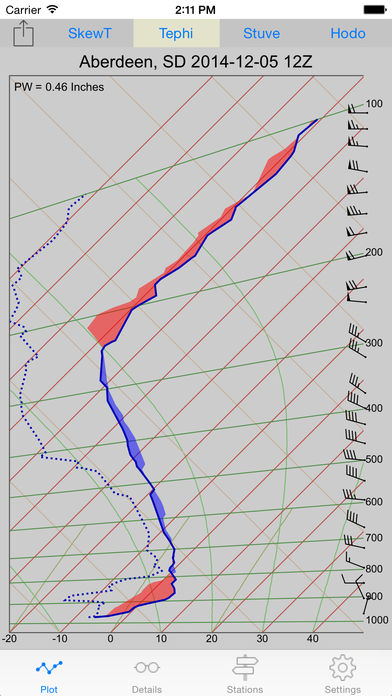
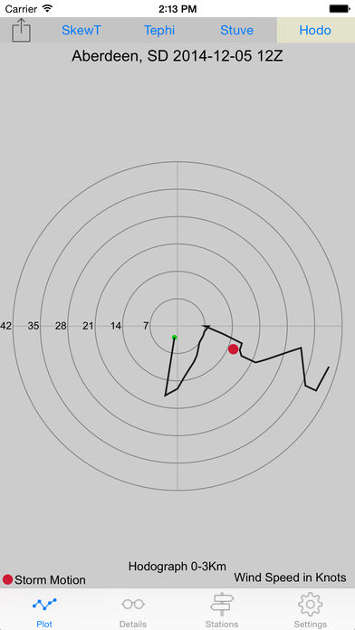
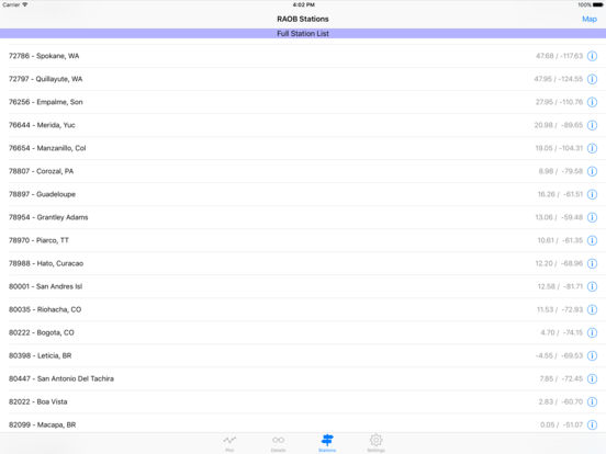
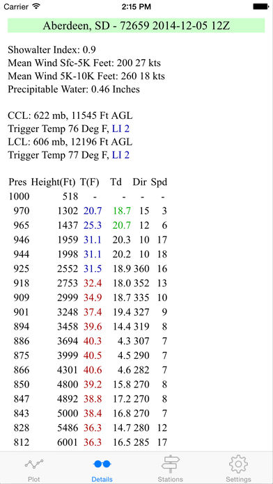
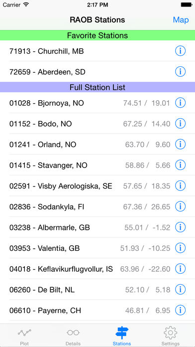
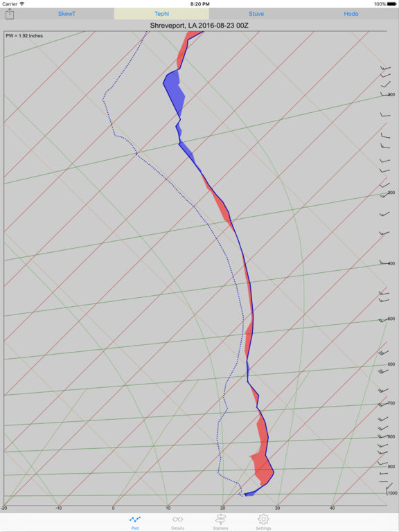
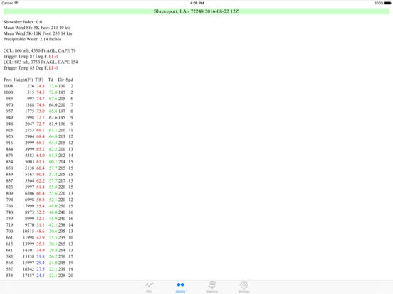
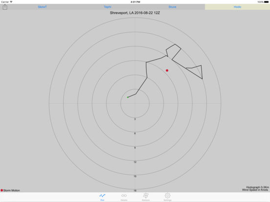
Display RAOB upper air data in a SkewT, Tephigram, or Stuve chart. Zoom the scale to see detail about inversion strength and height. Aircraft pilots, balloonists, and soaring pilots can monitor upper air data at the nearest upper air station to help with flight planning.