Planimeter - Field Area Measure on Map & GPS Track!
-
Category Productivity
-
Rating 4.16667
-
Size 12.8 MB
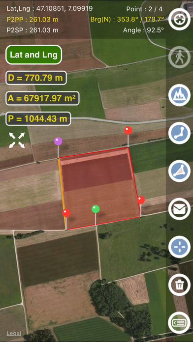
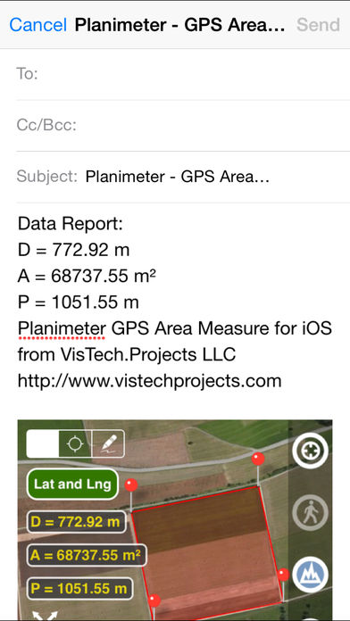
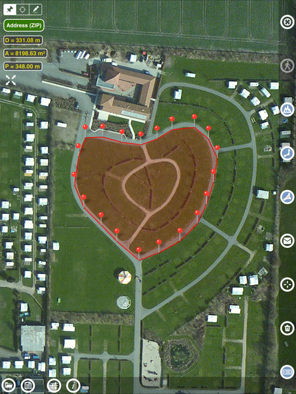
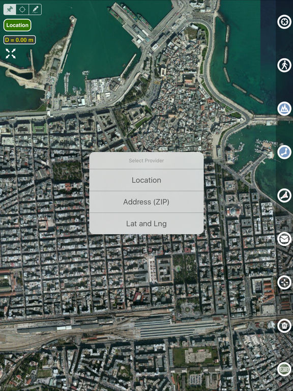
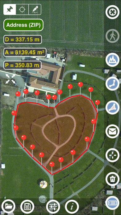
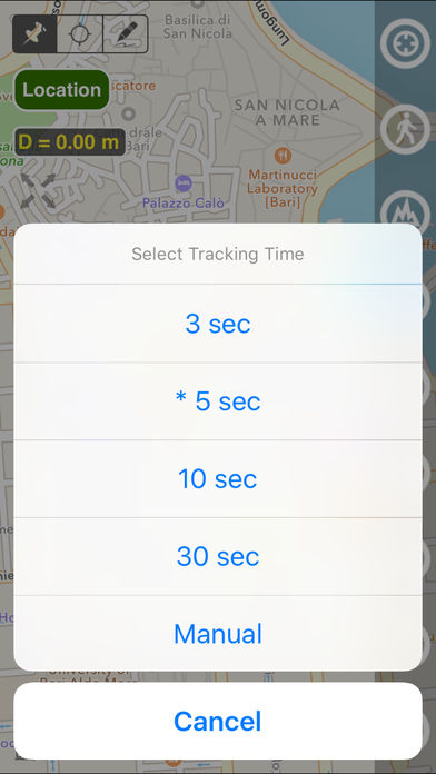
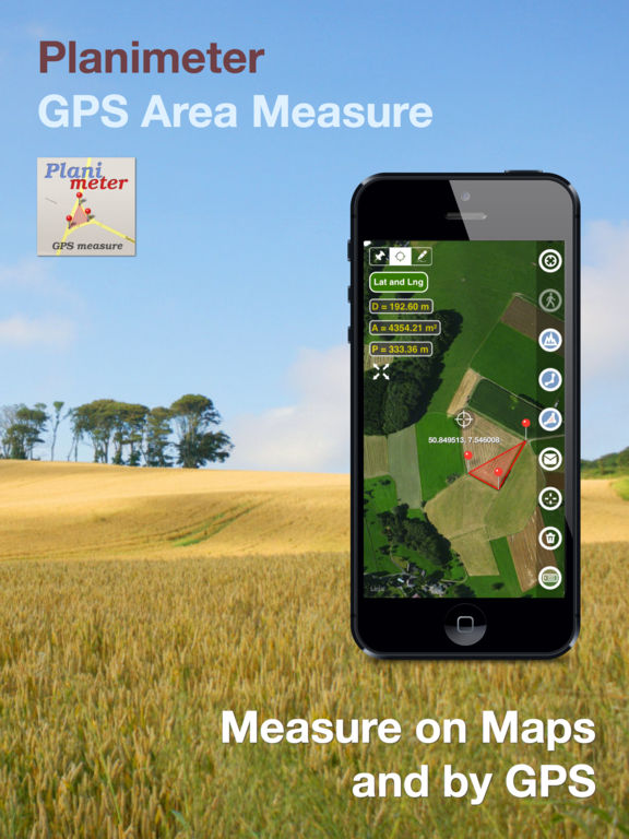
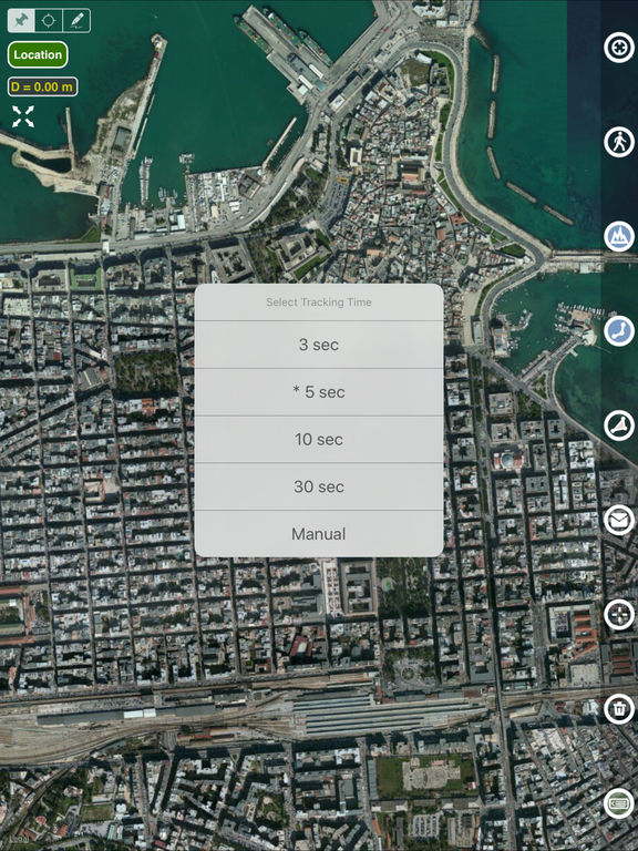
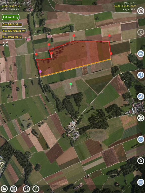
Planimeter is a tool to measure land distances and areas on a map, to check bearing and geo-coordinates of a location. This measurement app is useful for outdoor activities and can be used as land surveyor by amateurs and professionals in various industries like sport, farming, landscaping, paving and construction, road building and repairing, real estate business, hiking and travel, fencing, lot building and planning, solar panel installation (roof area estimation), object mapping, lawn design, and many other where land area and distance / length calculations, land survey or maps are involved. Feel free to contact [email protected] with any questions, comments or bug reports.