GeoFlyer US Canada 3D Maps Lite!
-
Category Navigation
-
Size 58.8 MB
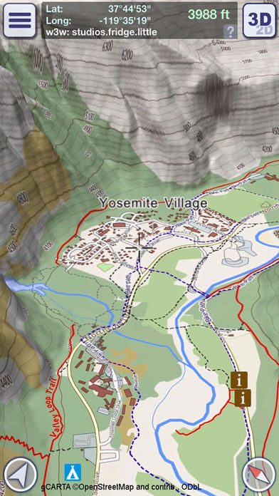
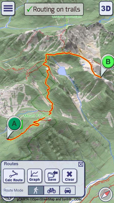
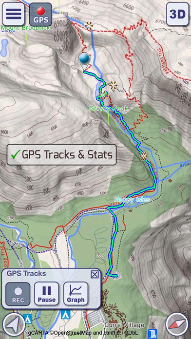
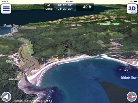
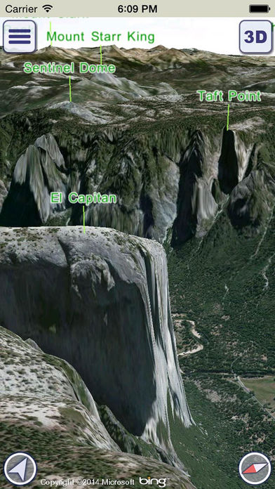
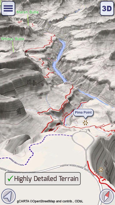
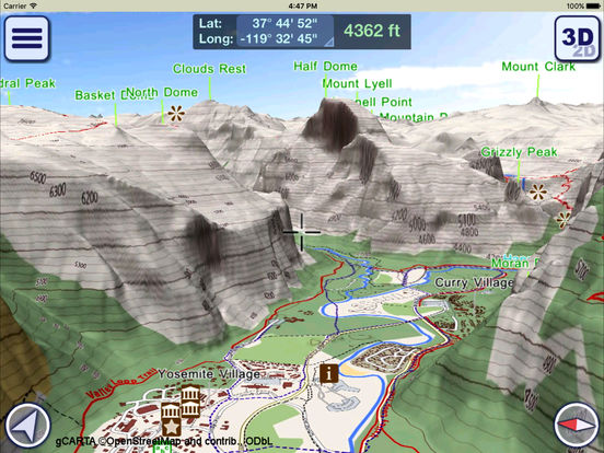
How would you like a mapping app with routing and GPS tracking that offers you the BEST 3D VISUALIZATION for the outdoors?How would you like a mapping app that shows points of interest in 3D with info or links to embedded Wikipedia pages?How would you like a mapping app that works OFFLINE (*), too?GeoFlyer 3D Map offers you all this and more If you love hiking, biking, horseback riding, or any other outdoor activity, GeoFlyer 3D Map is the app you need. MAIN FEATURES - Online and Offline (*) modes (with preloading of selected areas)- Highly-detailed 3D terrain - 3D labels/icons of Points of Interest (POIs)- Integrated Wikipedia descriptions- Place searching by name (Online and Offline) - GPS tracking - Routing- Sync of tracks and routes on all your devices (iCloud)- Altimetry graph and statistics - Custom-made gCARTA topographic chart - Gyroscope features: GyroPilot and First Person View GeoFlyer 3D Map reproduces the terrain in 3D with stunning details, using the best available digital elevation models from the US Geological Survey and NASA. (*) REDUCED FUNCTIONALITIES IN THE LITE VERSION:- Offline mode not available- Limited number of recorded tracks and routes- Sharing of tracks and routes not availableWARNING Continued use of GPS running in the background can dramatically decrease battery life.