Aero App!
-
Category Navigation
-
Rating 4.875
-
Size 31.9 MB
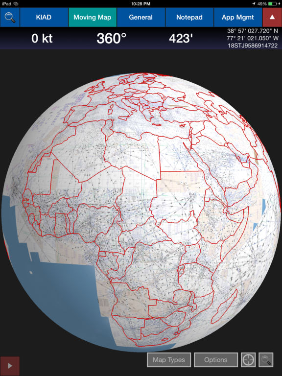
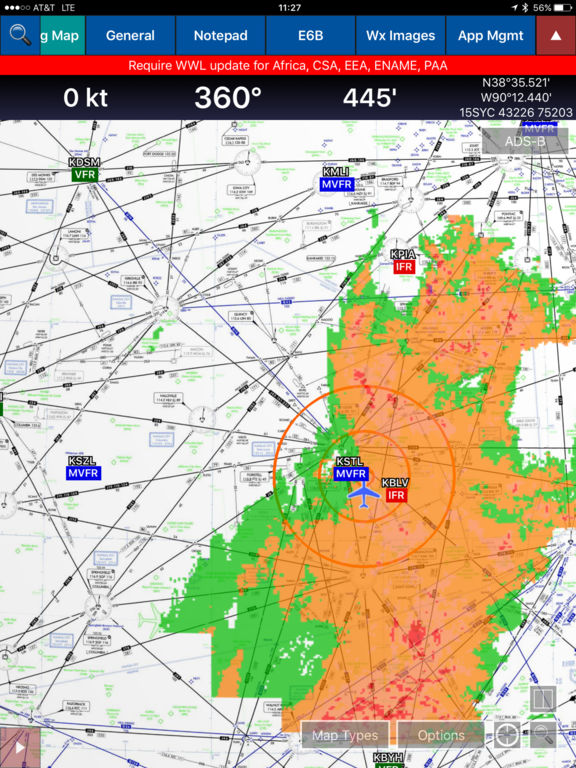
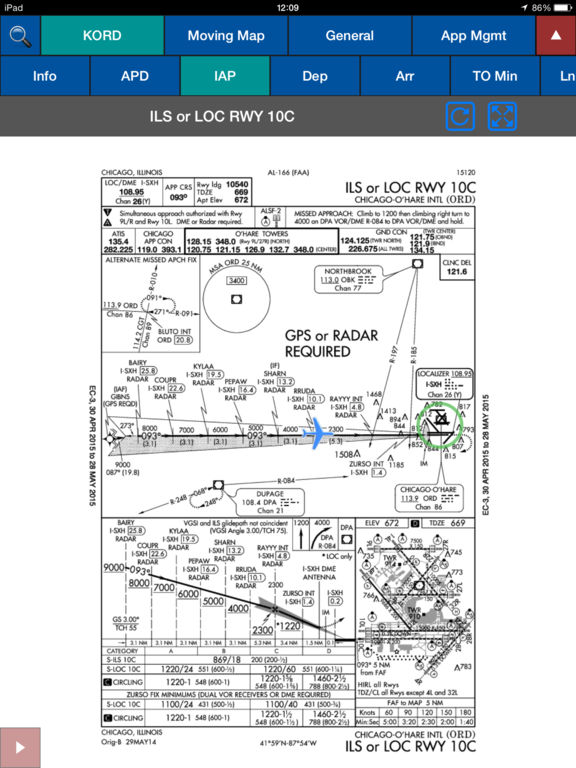
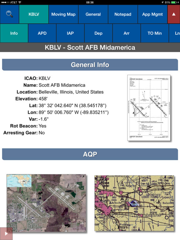
The NGA Aeronautical Application provides DoD customers the ability to view NGAs suite of DoD Flight Information Publications (FLIP), FAA sectionals, Enroute charts, Inflight Moving Maps as well as new digital only products such as our Airfield Qualification Program (AQP), Giant Reports and textural weather. This release includes World-Wide Library and access to host nation charts, Military Training Routes, User-generated Maps (Geotff, CADRG), cycle alerts. ADS-B weather to include NEXRAD, Distance Rings around aircraft, SIDs and STARs in route of flight, User generated custom moving maps, NGA world Mag Vars and users PDF documents downloaded from the Aero Data Server (ADS).