Tactical Navigator!
-
Category Navigation
-
Size 88.4 MB
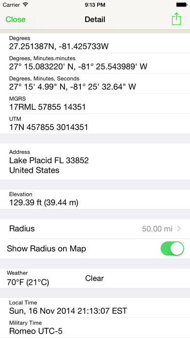
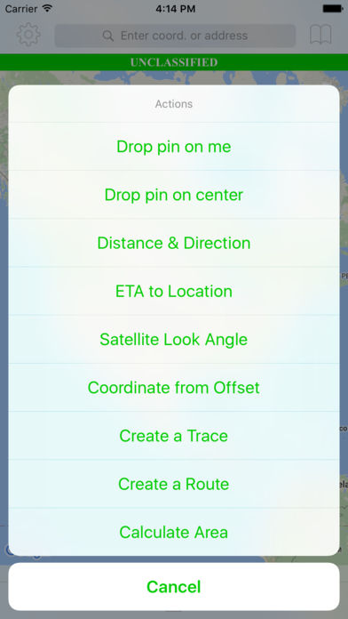
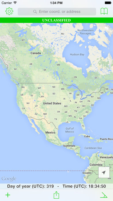
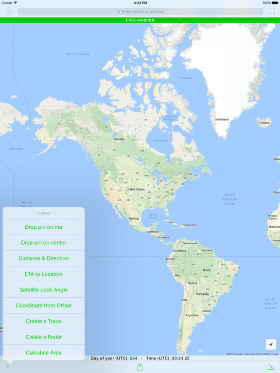
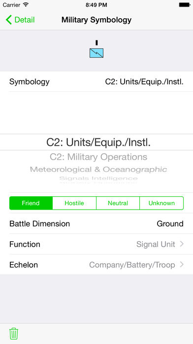
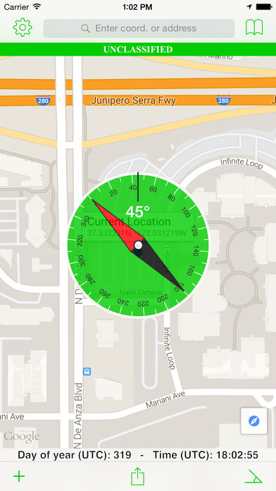
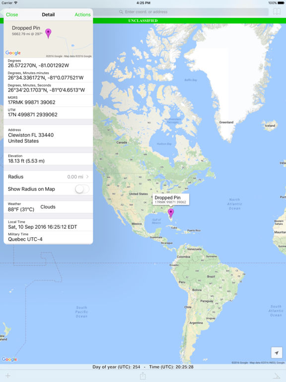
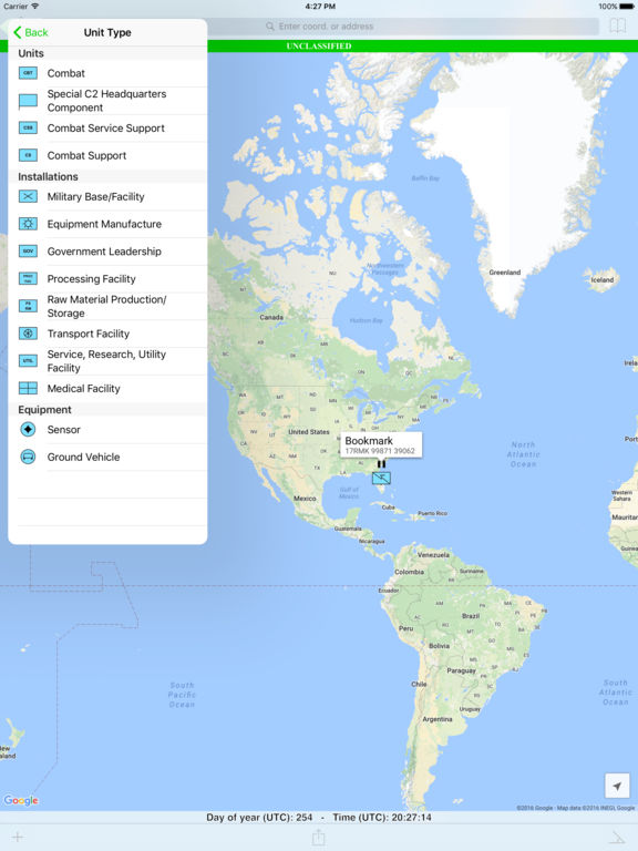
Tactical Navigator (TacNav) is a mobile application tool for communications, operations, and outdoor planningperfect for any military or outdoor enthusiast Whether you want to save a training location or your best fishing spot, this app is for you. Tactical Navigator comes with the following features:Basic App Features Compass Day of Year & UTC Time always visible Add many locations to the map at the same time Coordinate systems: Degrees, DM.m, DMS, MGRS, and UTM Search by address or any coordinate format Elevation Current weather conditions and temperature Local and Military time Choice of Metric or Imperial measurement valuesEnhanced Map Actions Distance & Direction ETA to a location Calculate a Satellite Look Angle Calculate an offset coordinate given distance & direction Trace a path Routes (great for land navigation) Calculate Area Add a radius around a locationOther Great Features Use MIL-STD-2525C symbology to change your locations icon Save notes to your saved locations Open Turn-by-Turn apps for driving directions with 3rd party apps (Apple Maps, Google Maps, and Waze) Universal application for use on iPhone or iPad iCloud integration to sync across your devices and auto-backup your data Angle of Device (ex. US Army Major Kevin Militello - Owner & DeveloperDisclaimers: Continued use of GPS running in the background can dramatically decrease battery life TacNav is not endorsed by any government agency