Map Tools!
-
Category Navigation
-
Size 15.3 MB
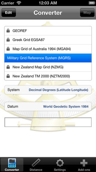
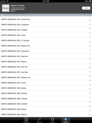
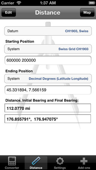
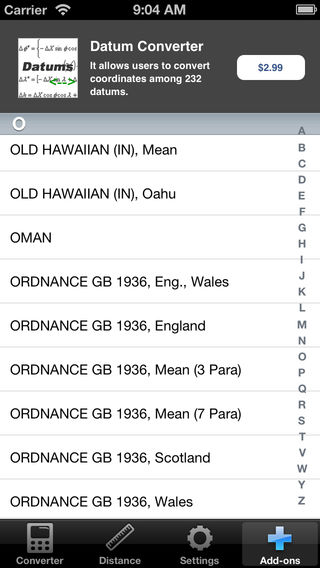
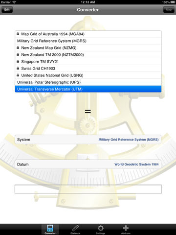
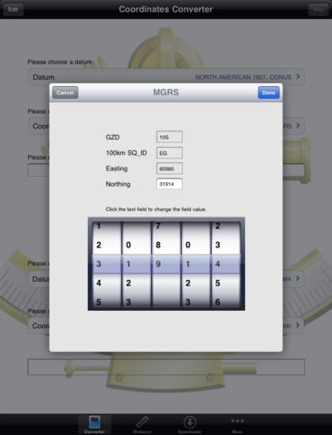
Map Tools is a utility that let users to fully utilize coordinates. Map Tools converts coordinates among various datums, coordinate systems and map projections. The following coordinate systems are available to choose as the input or output coordinates system:* Geodetic (latitude and longitude)* MGRS* UTM/UPS* USNG* Georef* Map Grid Australia (MGA) for GDA94 Datum* British National Grid for OSGB36 Datum* New Zealand Transverse Mercator 2000 (NZTM2000)* New Zealand Map Grid (NZMG) for NZGD49 Datum* Swiss Grid for CH1903 Datum* Greek Grid for EGSA87 Datum* Singapore TM for SVY21 Datum