iTopoMaps!
-
Category Navigation
-
Rating 1.91667
-
Size 16.6 MB
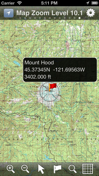
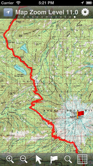
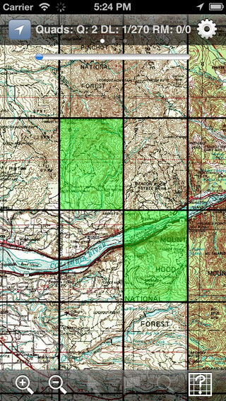
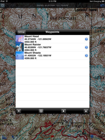
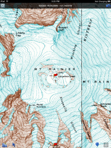
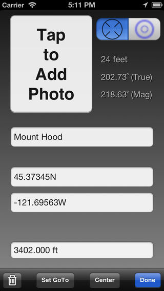
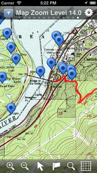
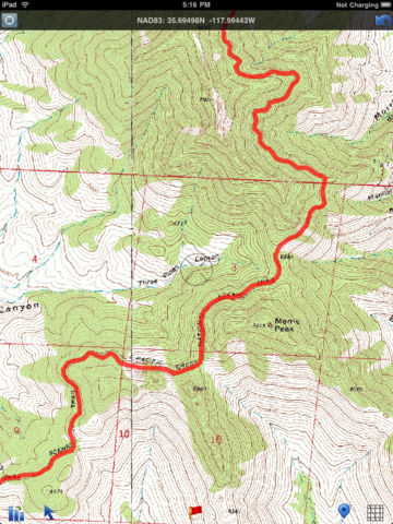
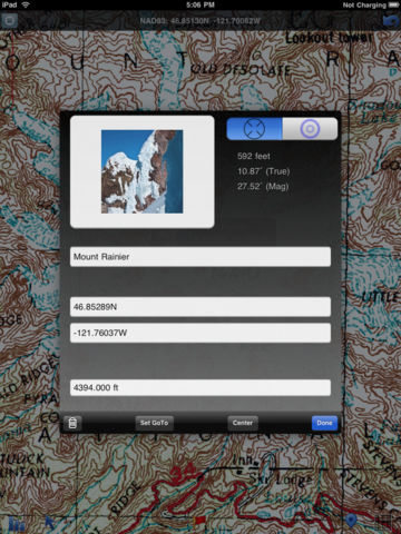
Hikers and climbers can now access real full-resolution USGS topographic 1:24k quads with side-scrolling multi-zoom map capabilities. In addition, quads can be graphically selected for storage on the device for access where you need it most, away from cellular and WiFi coverage Current Map and GPS positions are available in latitude/longitude and UTM coordinate systems. Tags: GPS USGS Topo Topographics Quads Quadrangles WGS WGS84 UTM Waypoints Tracks GNIS Geographic declination