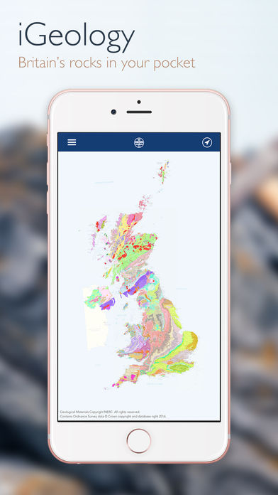
iGeology!
-
Category Education
-
Rating 5
-
Size 68.5 MB
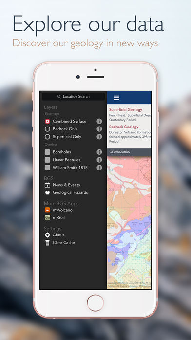
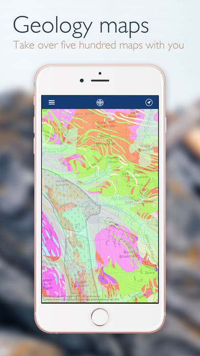
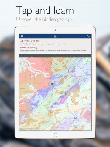
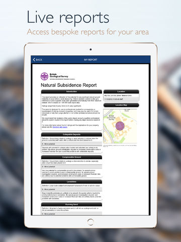
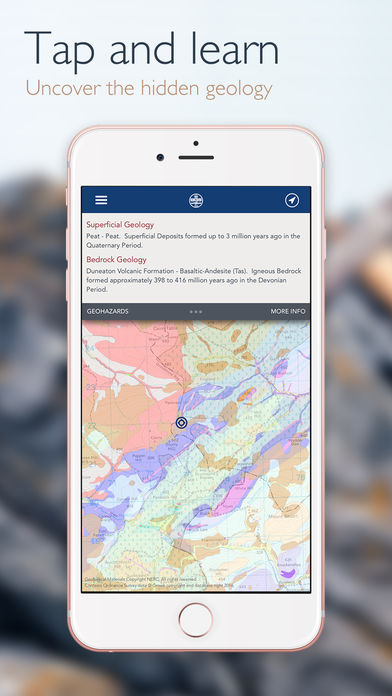
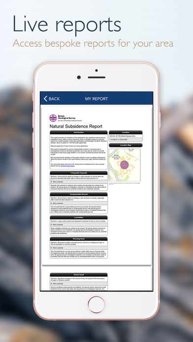
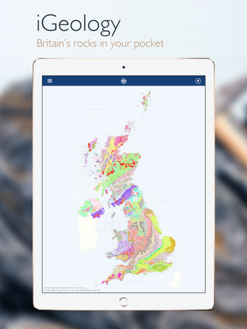
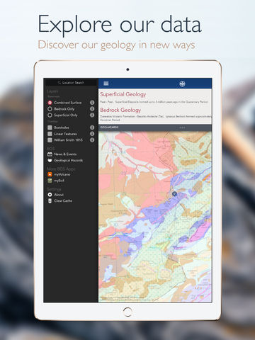
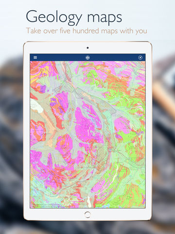
iGeology - Interactive geological mapping of the UK.iGeology is for anyone who wants to explore their local geology, at street-level scale, virtually anywhere in the UK.Amateur geologists, walkers and gardeners can look at whats in their local area, to find out about the rocks at the surface (superficial deposits) or the bedrock beneath. Search on place names or the postcode where you live, then click on the map and reveal the rocks beneath your feet. Only 1:625 000 scale data is available for Northern Ireland.