i-Boating:New Zealand Marine Charts & Fishing Maps!
-
Category Travel
-
Size 52.2 MB
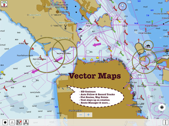
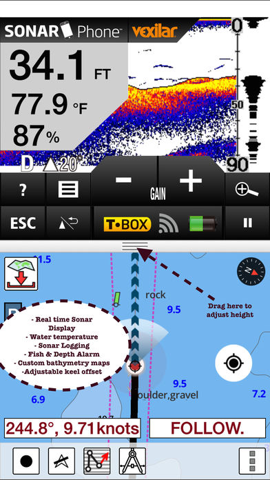
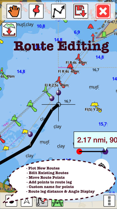
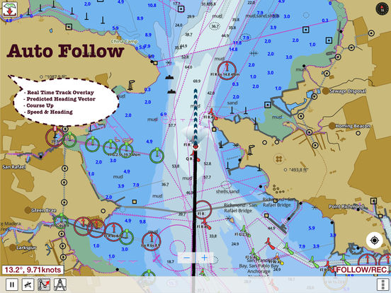
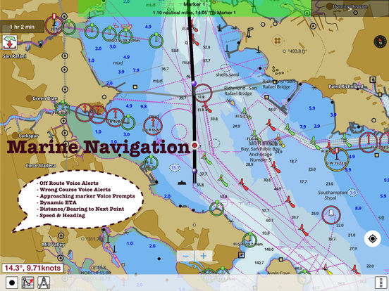
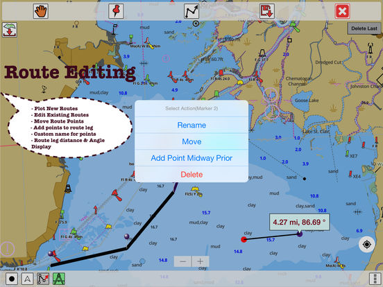
GPS Marine Charts App offers access to charts covering New Zealand waters(derived from LINZ(Land Information New Zealand (LINZ) - Toit te whenua)data). Only marine GPS app to have route assistance with Voice Prompts for marine navigation. AustraliaAlofi LandingAlofi AnchorageNiueChathamBream Tail-Kawau(Aotea)MacauleyRaoulCurtis & CheesemanTongaCape Karikari-Cape BrettOtagoRiverton/AparimaBalleny SeamountBallenyCavalli PassageSamoaLyttelton/WhakaraupoPort of LytteltonNukualofaMcMurdo Station & Scott BaseCradock Channel & MokohinauWhanganui River Castlecliff WharvesSamoaTimaruCoral & Solomon Seas & adjacent seasKaiparaWairoaMangonuiWhangaruruParengarengaBreaksea Sound & Dusky SoundSamoa-Tonga including NiueNiuatoputapuPoriruaApolima StraitMatautu BayKatiki Point-Nugget PointWhangareiGreat BarrierSmith-South CapeNorth CapeDoubtlessWhangaroaAnchorageAntipodesPerseveranceCampbell/Motu IhupukuBountyCastle Point-Cape PalliserMilford Sound/PiopiotahiPLEASE NOTE: Continued use of GPS running in the background can dramatically decrease battery life.