Walter Maps!
-
Category Navigation
-
Size 42.8 MB
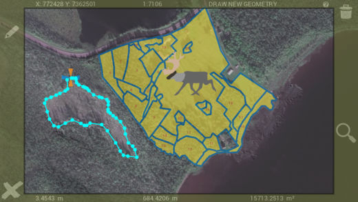
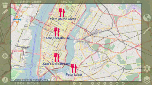
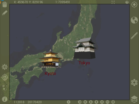
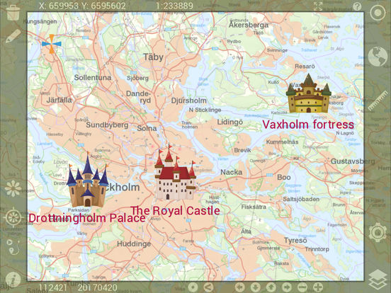
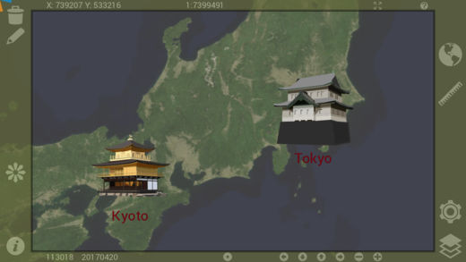
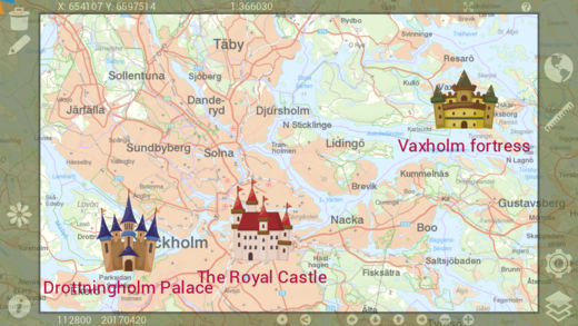
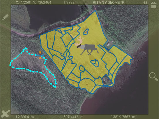
Walter Maps is a professional tool for online and fully offline geodata collection and editing. You can use it stand alone or as a ready-to-use field data collection tool in your existing geodata environment. to attributes- Collect any number of photos/videos per feature- Select photos from device album- Import points from text files- Export vector layers to text files or Excel (*.xls)- Download layers from password protected http URLs- Email complete map or selected layer- Launch web-sites based on feature attribute values- Save WMS & WMTS to offline raster layers- Cut and resample raster layers- Export present map view for fast and easy sharing of map snapshots with other people- Any number of conditional symbologies, i.e. symbology by field based SQL-queries- Pan to projected or geographic coordinate (x,y or lat,long)- Measure raster values- View only map (hide tools for better presentation)- Quickly alternate layers in the map- Local backup of vector dataThe in app purchase Unlock Walter Maps Pro terms of use can be found at: http://waltermaps.com/walter_maps_ppm_terms_of_use/