SuperSurv M3!
-
Category Utilities
-
Size 28.3 MB
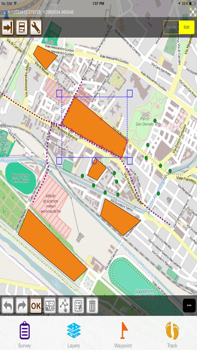
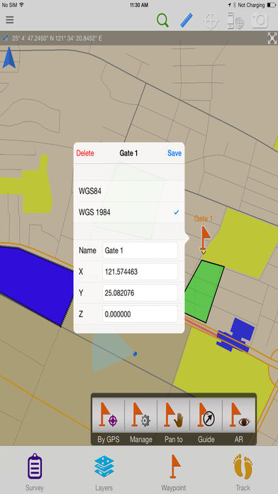
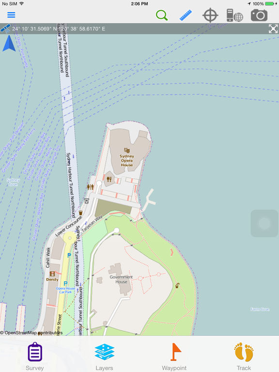
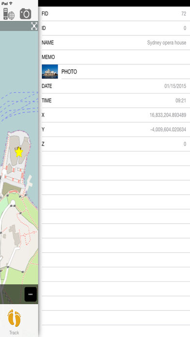
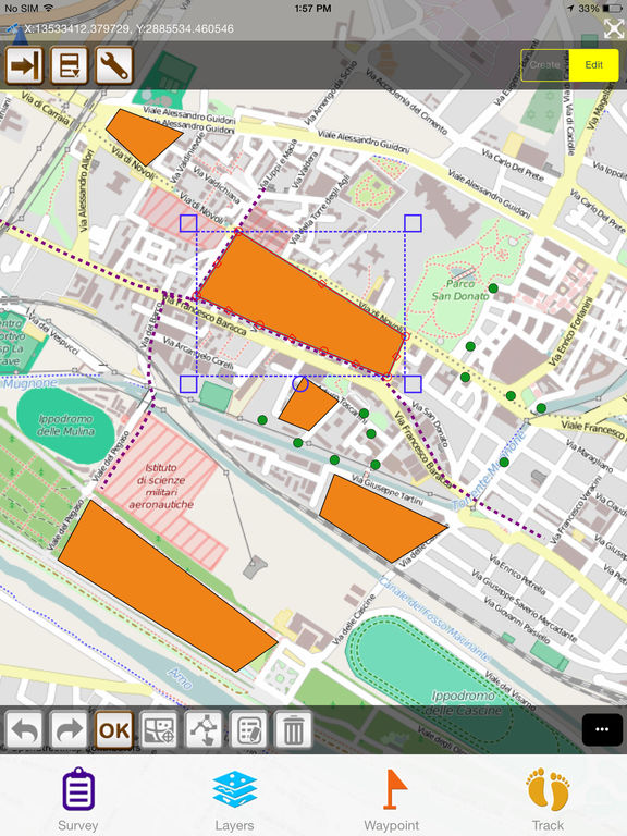
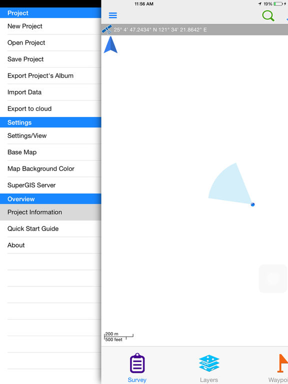
A standalone GIS survey app for professional field tasks Collecting data offline using shapefiles in the field Viewing waypoints in AR (Augmented Reality) Key features in SuperSurv M3: 1. Online Map Tool for free basemaps (Eg. Users can apply OpenStreetMap as the basemap to collect spatial data and save the data as SHP/ GEO files.