SkyDrones!
-
Category Utilities
-
Size 69.3 MB
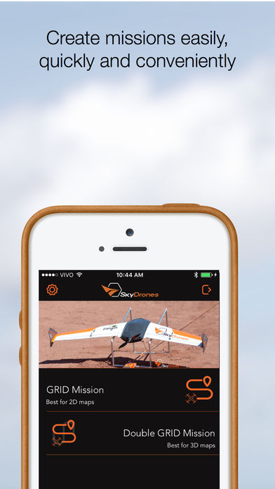
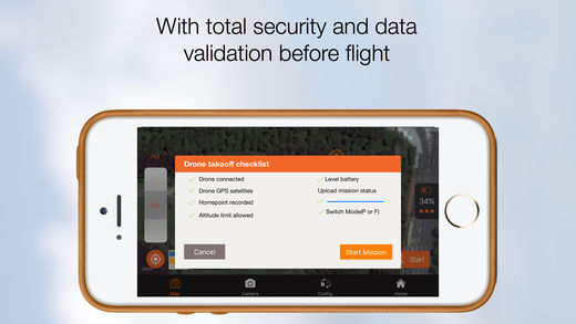
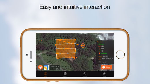
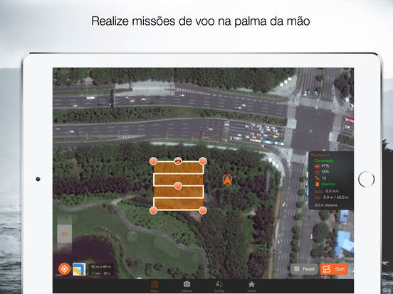
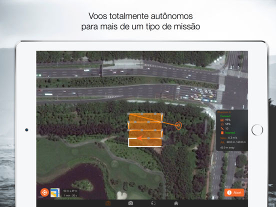
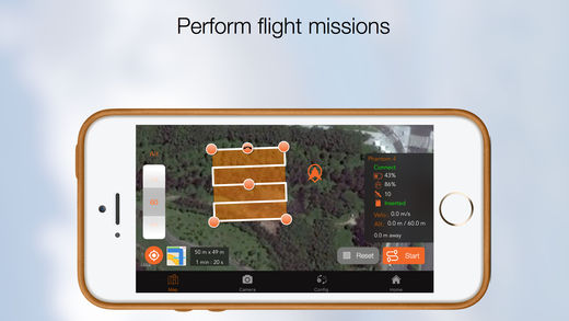
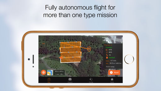
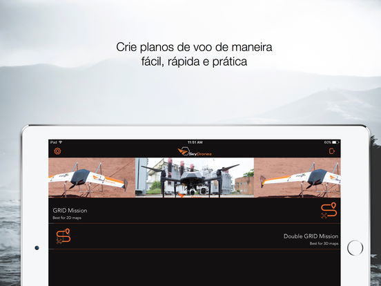
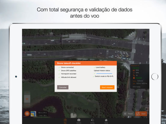
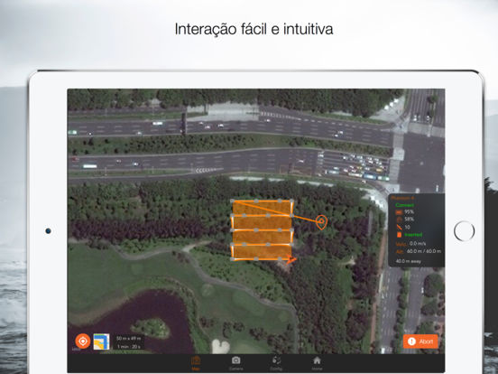
The SkyDrones App allows you to transform DJI * drones in a safe tool for mapping and measurement through flight plans for autonomous image capturing. Key features: Choose an area for mapping. To convert captured images into maps and 3D models, SkyDrones is partners with Pix4D.Website:www.skydrones.com.brLikes and share our page on Facebook:https://www.facebook.com/SkyDronesBR/