SeaNav US!
-
Category Navigation
-
Size 54.4 MB
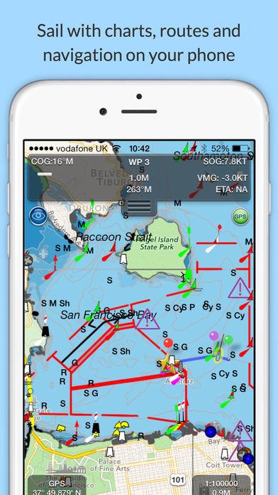
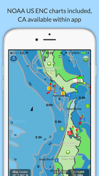
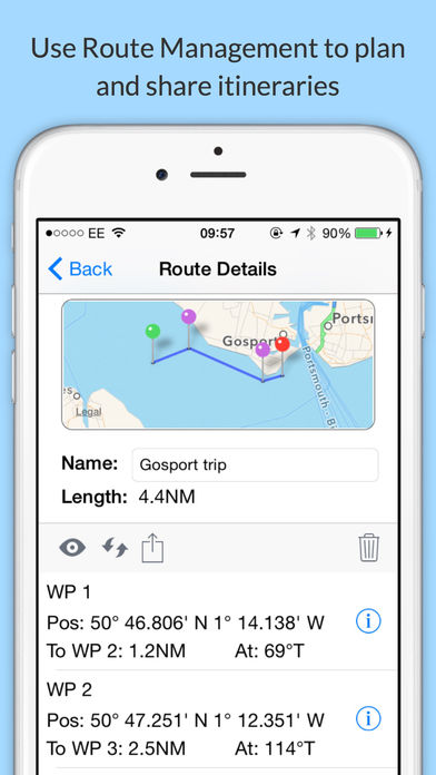
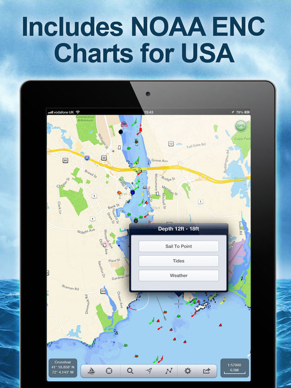
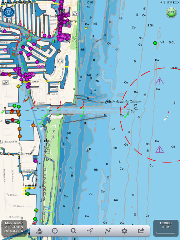
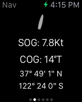
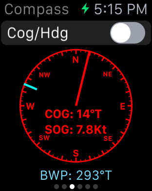
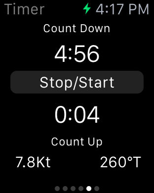
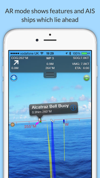
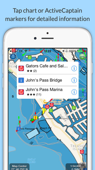
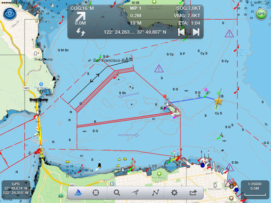
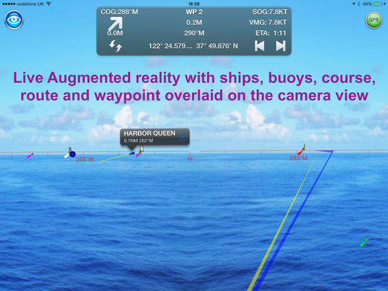
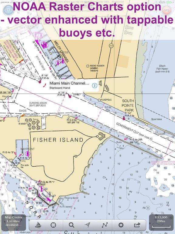
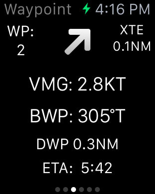
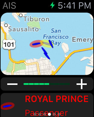
Explore, Plan and Navigate your boating trips in real time and outstanding high-resolution with the latest NOAA Marine charts covering the whole of the USA and US Great Lakes.- Includes all US Coastal, Inland and Great Lakes Digital Vector Charts- Buoys, lights etc. are tappable with bearing and distance- Free Apple Watch app- Seamless panning and zooming across charts- Unique live Augmented Reality camera view- Route Planning and tracking with Waypoints, ETA, XTE, etc.- Offline charts- Route export and import- Live AIS Ship targets (requires Boat Beacon)- ActiveCaptain Marinas, Anchorage, Hazards and reviews- US NOAA Raster charts available via IAP- Canadian charts via IAP- External NMEA over WifiSeaNav is a Universal app, which works on iPad, iPhone and iPod. Third Party Licenses and NoticesNOTICE: US Marine Charts are derived from official NOAA Electronic Navigational Charts.