ROAMviewer!
-
Category Business
-
Size 85.3 MB
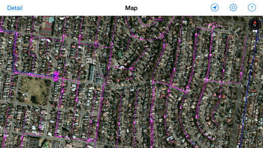
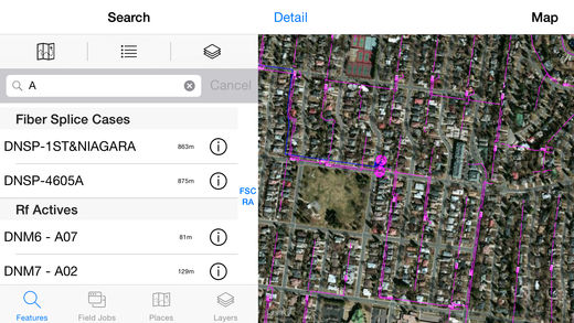
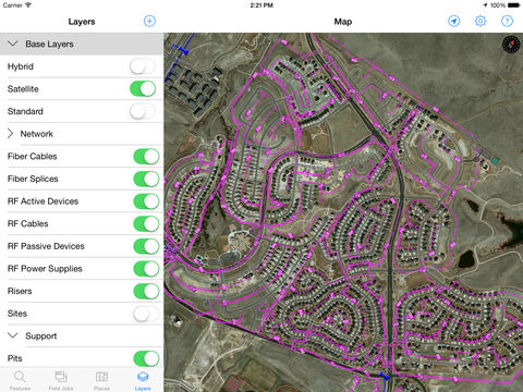
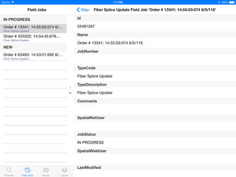
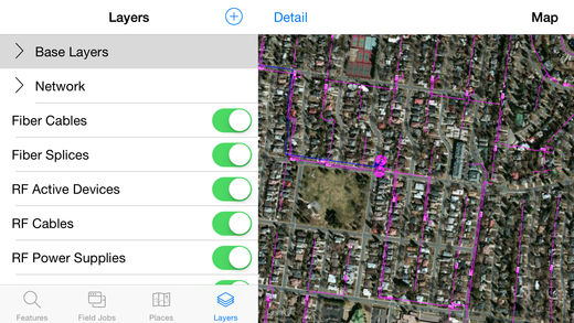
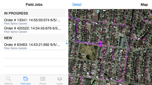
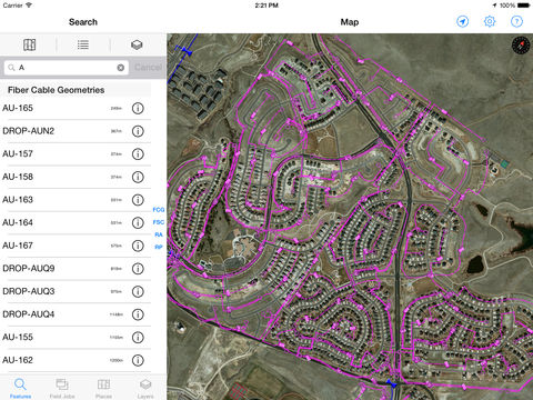
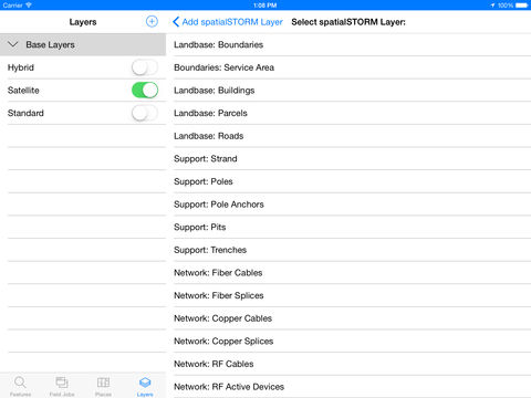
ROAMviewer is a connected mapping app that displays telecommunications network information from a Synchronoss spatialNET datastore. Users can interactively display network layers, search for specific assets, and find out what assets are nearby using the iPads GPS capability. FEATURES Access spatialNET network layers Search for nearby assets and filter by asset type Search for nearby places View the details of selected assets or places View the details of field jobsContinued use of GPS running in the background can dramatically decrease battery life.