RGIS NSO!
-
Category Business
-
Size 133 MB
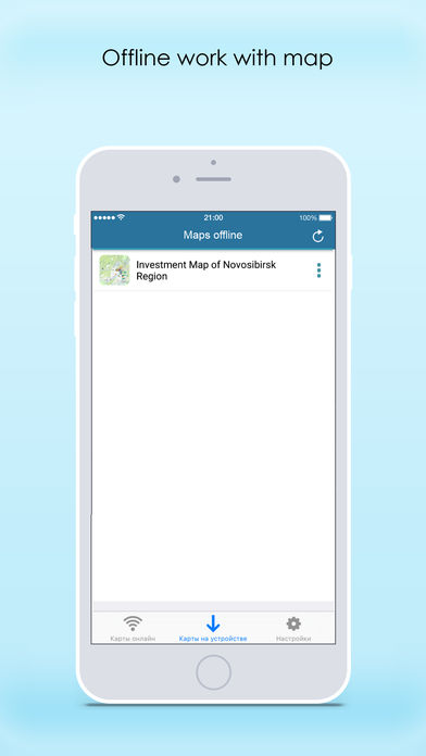
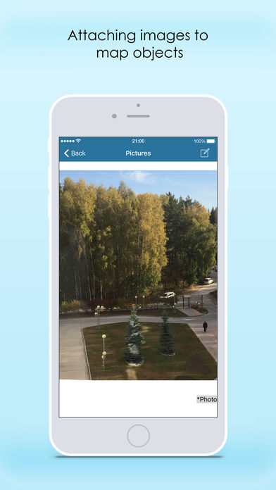
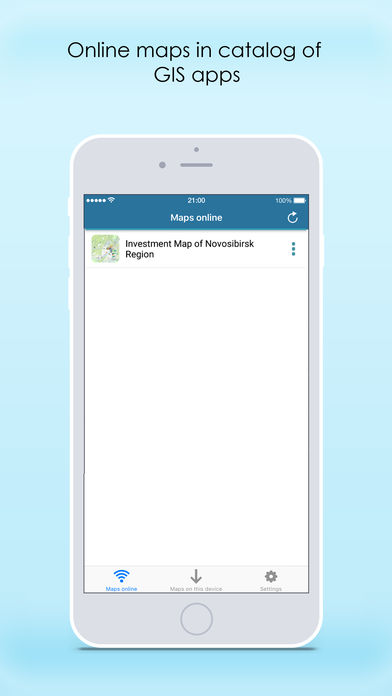
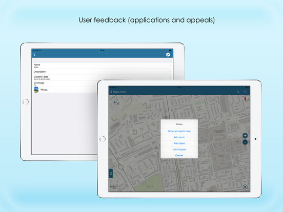
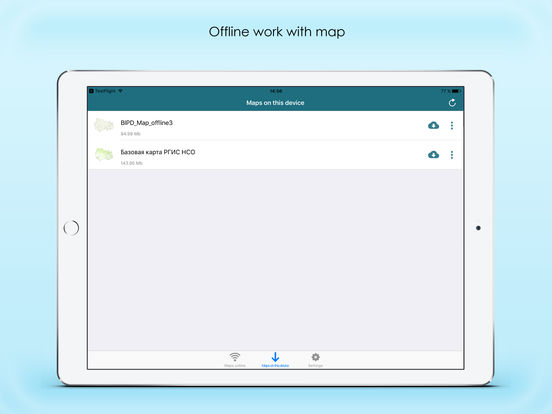
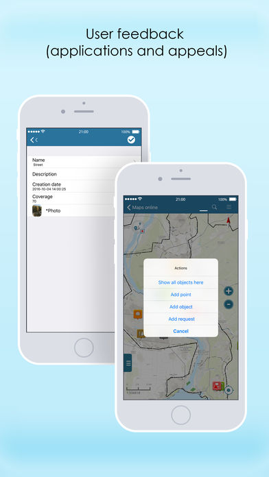
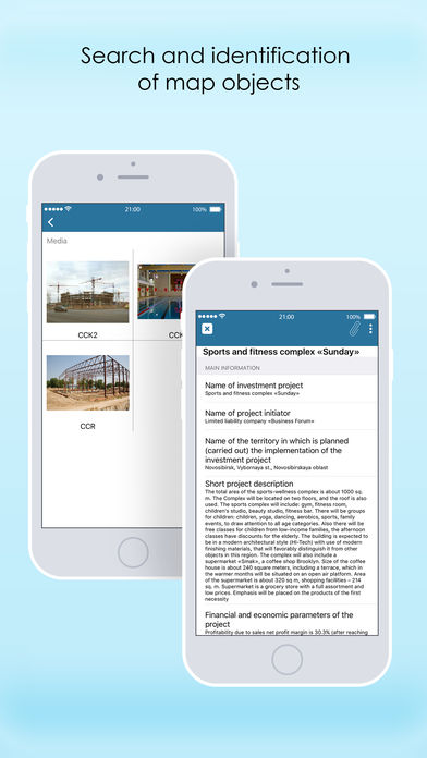
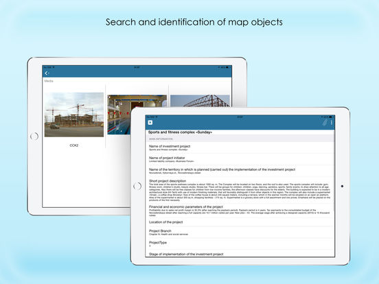
Regional Geographic Information System of Novosibirsk region is designed to maintain general and industry-specific spatial data, to provide access to map of Novosibirsk region for public and local authorities, individuals and organizations, and to implement related business-processes for executive and local government bodies of Novosibirsk region. General features- Handy tools for work with mobile map Take advantage of using your full functional mobile map - find your current location using GPS/GLONASS option, orientate yourself to terrain, turn map layers on and off, zoom in and out, identify objects, measure distances and areas, record your tracks on the way. Continued use of GPS running in the background can dramatically decrease battery life.