PrecisionFlight for DJI!
-
Category Business
-
Size 153 MB
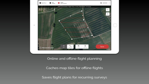
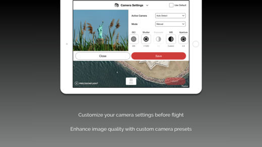
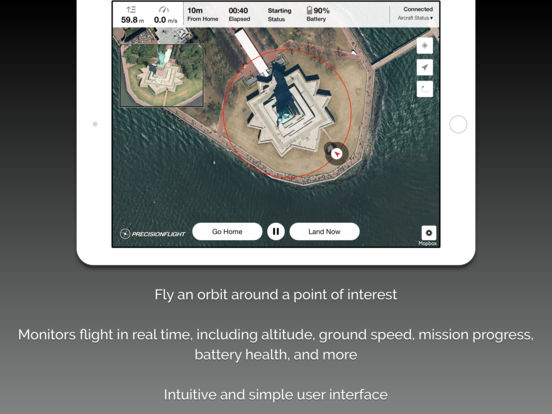
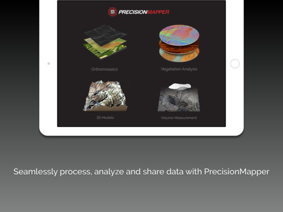
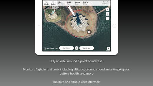
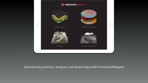
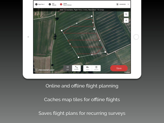
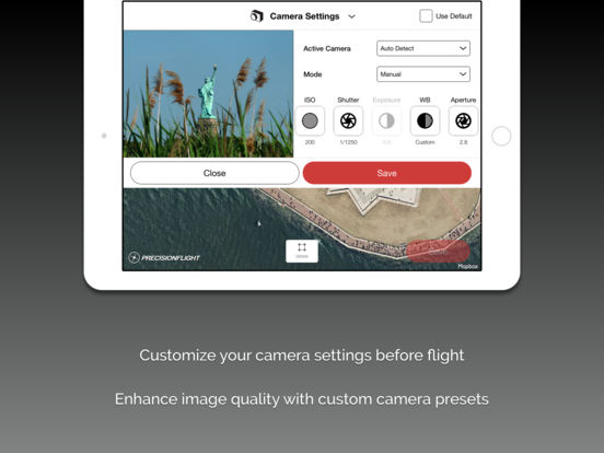
PrecisionHawks PrecisionFlight mobile app turns a DJI drone into an advanced remote sensing tool that empowers businesses and consumers to gain actionable aerial data autonomously. This FREE app features a highly-intuitive user interface to easily create flight plans that automatically guide the drone to capture aerial images for 2D/3D maps and advanced analysis. Please remember to fly responsibly and abide by all local and federal airspace regulations.