Pix4Dcapture!
-
Category Utilities
-
Size 137 MB
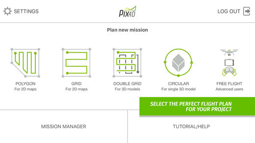
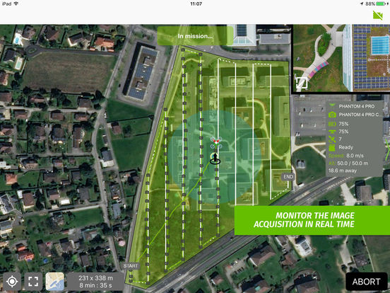
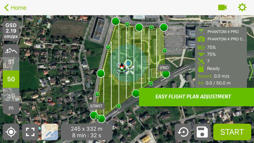
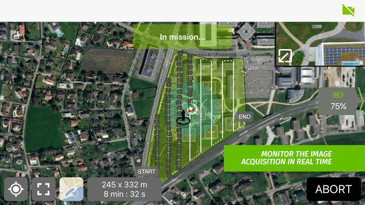
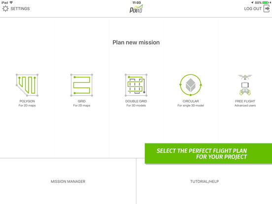
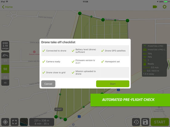
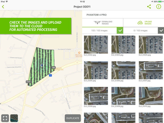
Pix4Dcapture turns your consumer drone into a professional mapping tool. A free companion of Pix4D software, Pix4Dcapture is the perfect tool to automatically capture image data for optimal 3D models and 2D maps. Discover our cloud and desktop 3D mapping and modeling solutions on our website.
* Support https://pix4d.com/support/
* Training https://pix4d.com/training
* Download https://cloud.pix4d.com/download/
* Blog https://pix4d.com/blog/
> Generate 2D and 3D information, purely from images Drone photogrammetry software uses images to create professional orthomosaics, point clouds, models and more.