Nexmap Boston!
-
Category Navigation
-
Rating 2.4
-
Size 16.5 MB
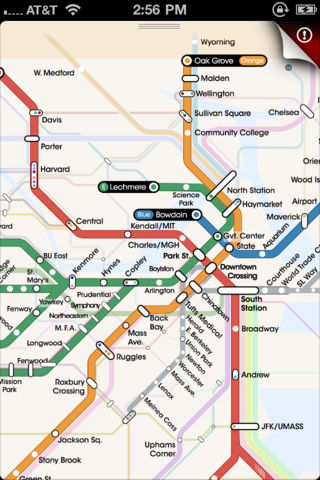
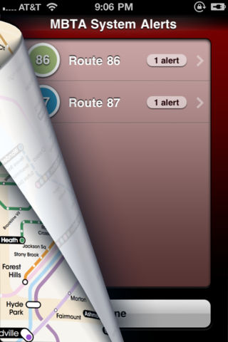
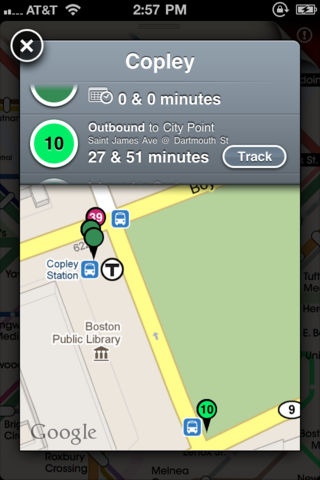
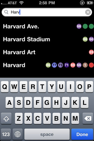
Introducing the next generation in transit maps: the worlds first scalable interactive transit map The ONLY map that offers real-time GPS tracking in a beautifully rendered map covering commuter rail, subway, streetcars, and buses. Nexmap is gorgeously rendered to fit beautifully with the experience youd expect on an iPhone (including Retina). Weve incorporated it right into the transit map, so you can tap on a station and see when to catch your bus, and what corner its on. Features Beautifully rendered interactive transit map Nexmap incorporates 4 maps in one:- Commuter Rail- Subway / Light Rail- Primary Bus Routes- Street View Precise GPS stop locations for each bus / train Real-time upcoming bus timing (GPS)