NOAA Buoy Stations and Ships!
-
Category Weather
-
Size 0.8 MB
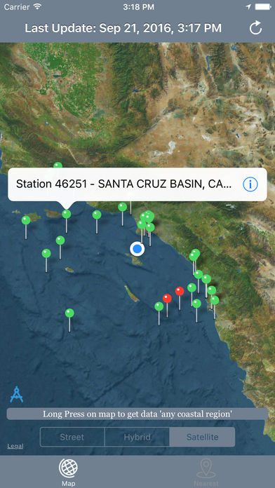
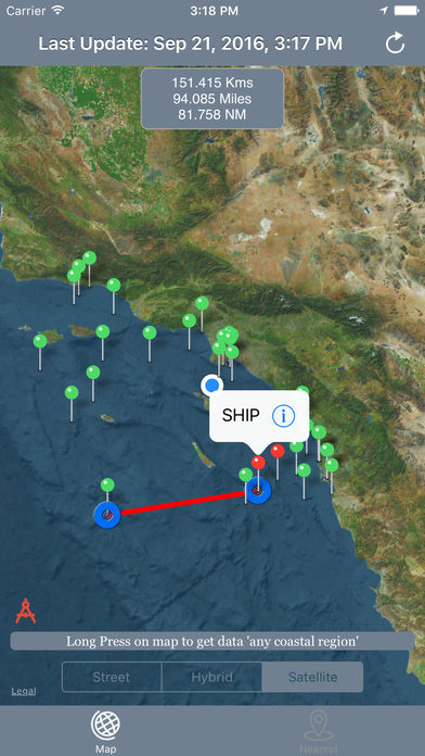
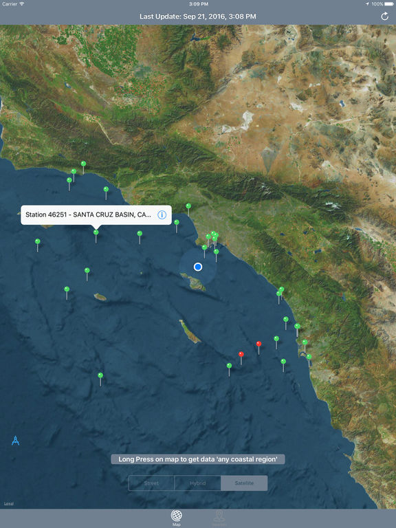
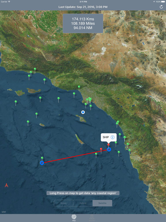
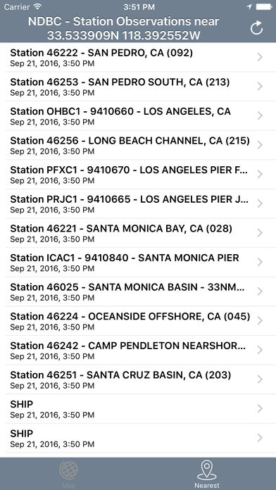
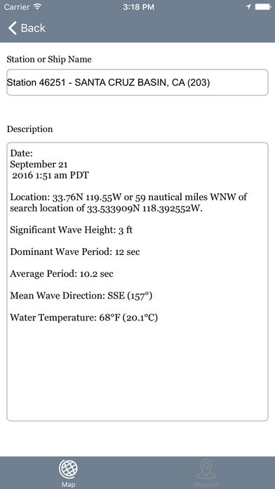
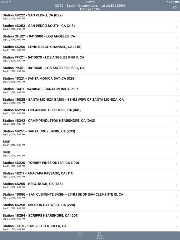
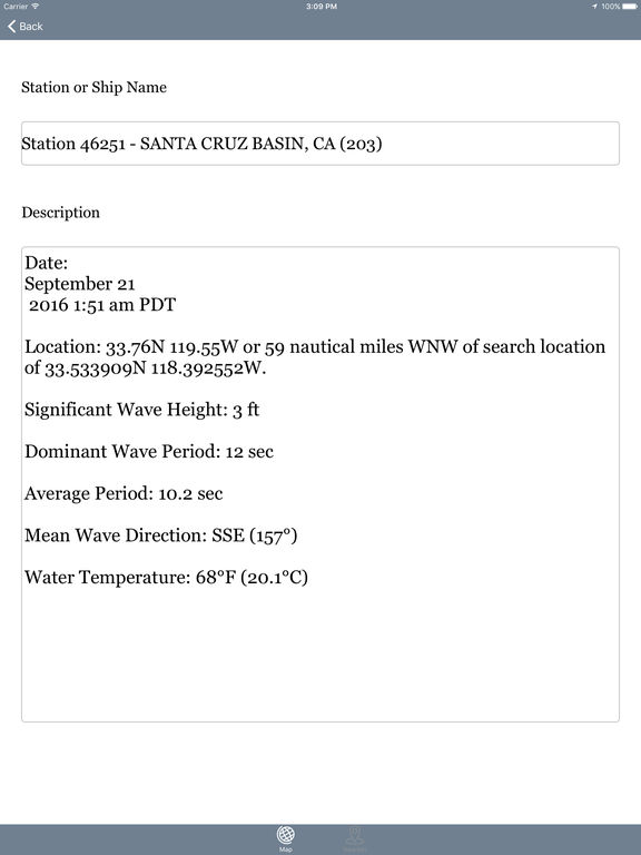
Best map for Boaters, Sailors, Fishermen, Divers The NOAA Buoys Stations and Ships map is a unique app that allow you to retrieve weather data and real time ship positions data from NOAAs National Data Buoy Centre. All Buoy Stations and Ships are displayed on the maps (Street, Hybrid, Satellite)Search Nearest Stations and get all the NOAA information for Wind Speed, Wind Direction, Wind Gust, Air Temperature, Water Temperature, Dew Point and more parametersPlease note that Internet connection is required to access data from NOAA NDBC.