MiFarm!
-
Category Productivity
-
Size 11.1 MB
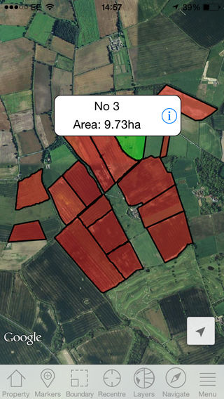
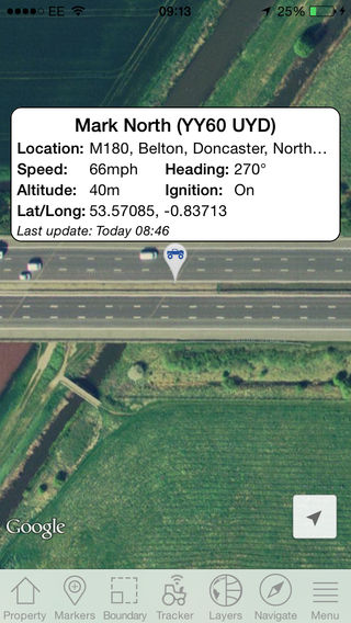
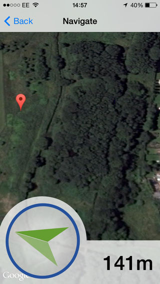
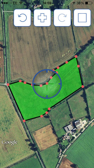
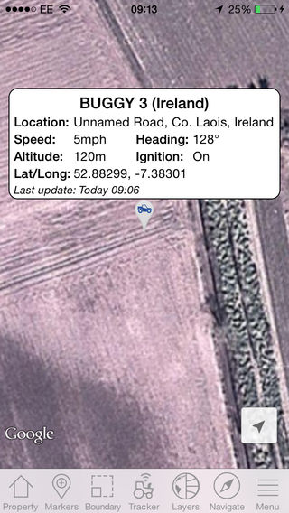
The MiFarm iPhone app has been designed to complement the MiFarm Field Builder and is the Precision Decisions cloud based system which allows you direct access to all your field and mapping data from anywhere. This app synchronises to your existing MiFarm mapping system and allows you to capture field data in real time from the field to use and store within MiFarm. Features of the app: Add fields and automatically log boundaries or areas as you go Manually add field boundaries or areas with an intuitive drawing tool Farms and fields set up using MiFarm will be downloaded to the app for offline use Add GPS points, these may be weed patches, disease, poor areas of crop, drainage points Stand in an area and automatically circle a noteworthy area Navigate yourself to a field or point using the compass arrow and metre countdown feature Send directions to fields and points via email to open in online mapping web sites View vehicle and machinery location in real time using our GPS telematics trackers Export boundaries in .csv format for import to applications like Gatekeeper Synchronise all captured data back to MiFarm.