Mercator Projector - direct & inverse solution of UTM Projection!
-
Category Utilities
-
Size 8.2 MB
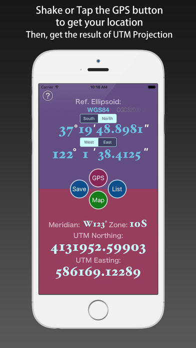
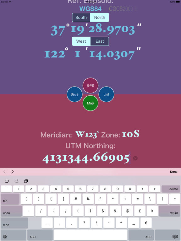
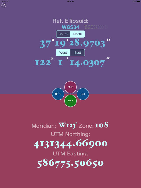
The Universal Transverse Mercator coordinate system was developed by the United States Army Corps of Engineers in the 1940s. The system was based on an ellipsoidal model of Earth. Inverse solution of the UTM Projection:1) Select the Reference Ellipsoid.2) Input the zone number.3) Input the UTM Coordinate components (Northing, Easting).4) Inputed the number, tap the Done button, then you can get the Geodetic Coordinate.