Melown Maps!
-
Category Reference
-
Size 2.8 MB
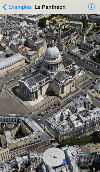
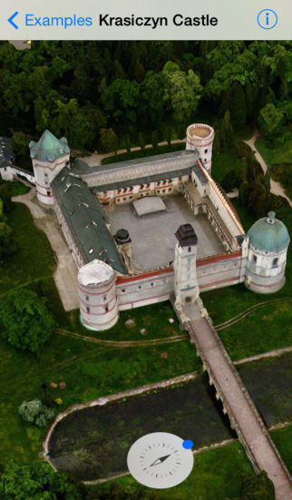
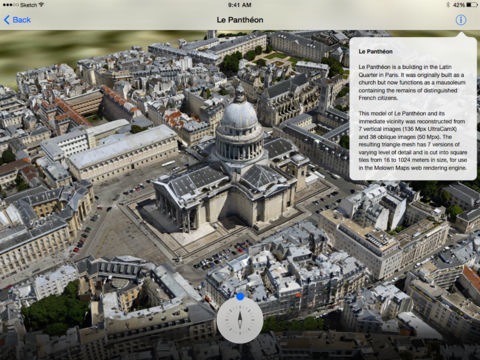
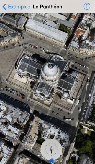
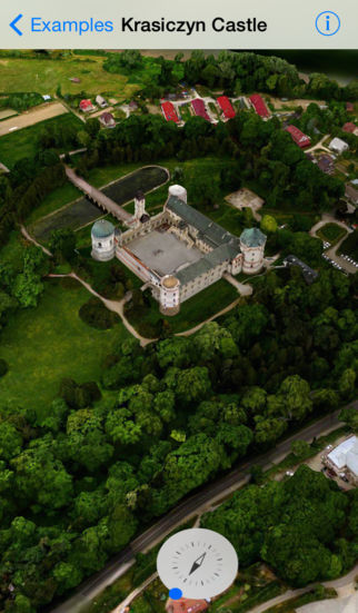
Melown Maps is a cloud 3D mapping service. We create 3D digital models of urban and natural landscapes from aerial imagery and present them on the Web. Whether you are a municipality, real estate company, holiday resort operator, urban developer, military agency or a photomapping professional, we strive to provide you with a tool to present your world to visitors across the planet, in true 3D.