Measuring Tape!
-
Category Utilities
-
Rating 4.66667
-
Size 17.9 MB
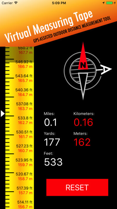
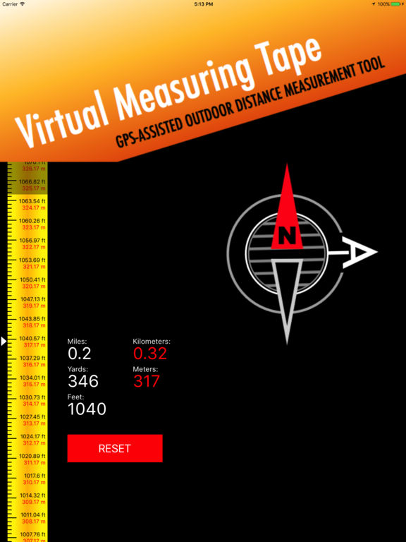
This application measures the shortest (air) distance from a point A to a point B using GPS with maximum available accuracy in yards, meters, kilometers and miles. You simply reset the ruler at the point A, and then you watch the distance counters increasing as you move to the point B (as if you were using a real tape measure or a ruler).Primary use for approximate sizing / measuring of:- land, grounds, properties- real estate- golf course yardage- sport facilities and tracks- air distance- other outdoor measurementsThe application is intended for outdoor use only with location services enabled. Once reopened, the application continues the current measurement.