Mapplet!
-
Category Productivity
-
Size 5.5 MB
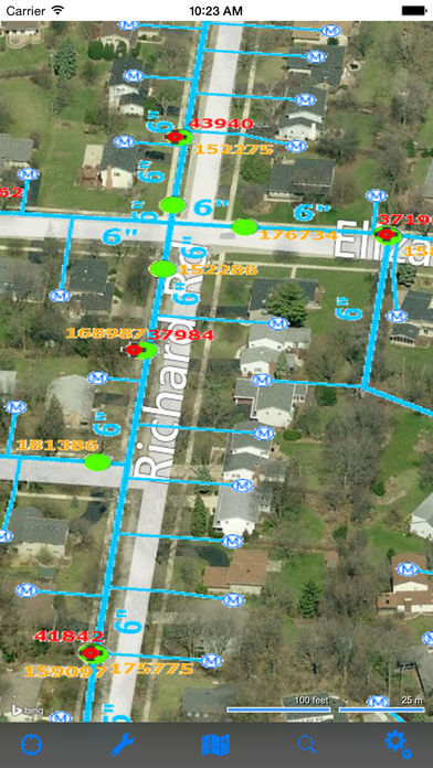
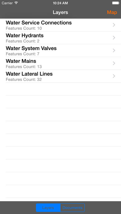
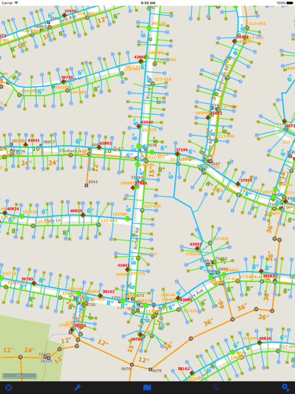
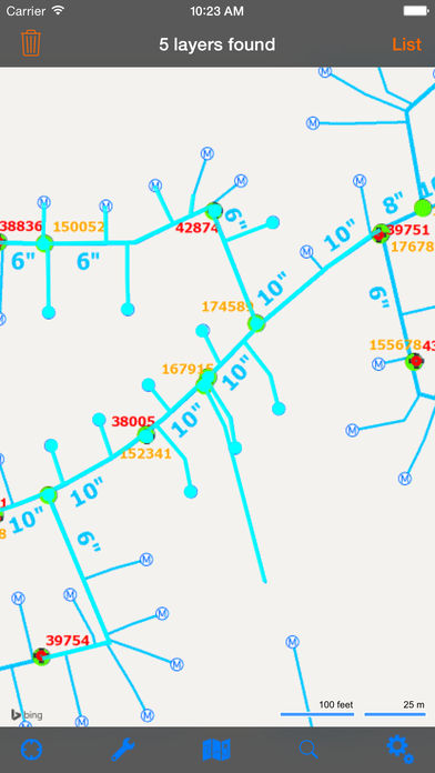
Do you have your own location based data or aerials and need to display it on an industry standard base map? Are you looking for an affordable and blazingly fast solution? Features:-Access, query and analyze your own data-Display extended location based information-Display documents linked to your data-Auto identify nearby objects using GPS-Display your data on top of industry standard base maps-Identify all objects within a map area-Find and locate objects using custom predefined queries-Easily navigate, pan, zoom and change the map view-Measure distances and areas-Search for places and addresses-Display your phone contact list and bookmarks on your map-Superimpose real-time traffic on top of your data-See your own data on birds eye map-See location of your data using Street View-Much more