Mapillary street-level imagery!
-
Category Navigation
-
Size 68.5 MB
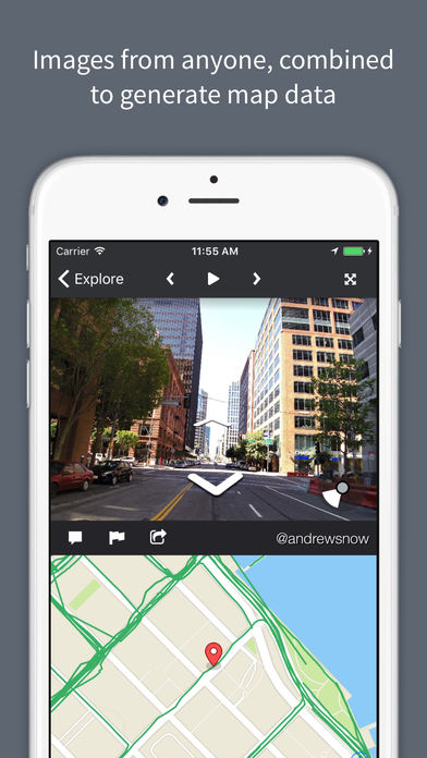
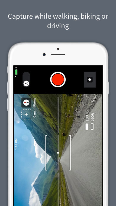
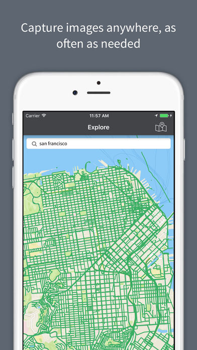
Mapillary is a street-level imagery platform powered by collaboration and computer vision. By allowing anyone to capture images anywhere as often as needed we can create 3D views of places and detect and extract map data from the images. Get involved Note: Photos are processed with privacy preserving blurring using face detection and license plate detection.