MapOut!
-
Category Navigation
-
Size 72.9 MB
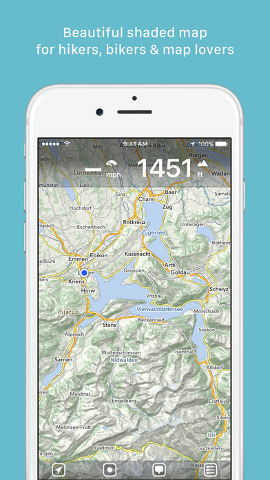
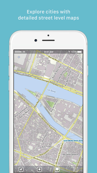
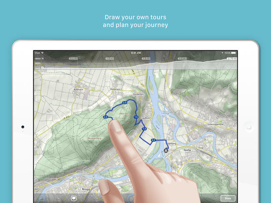
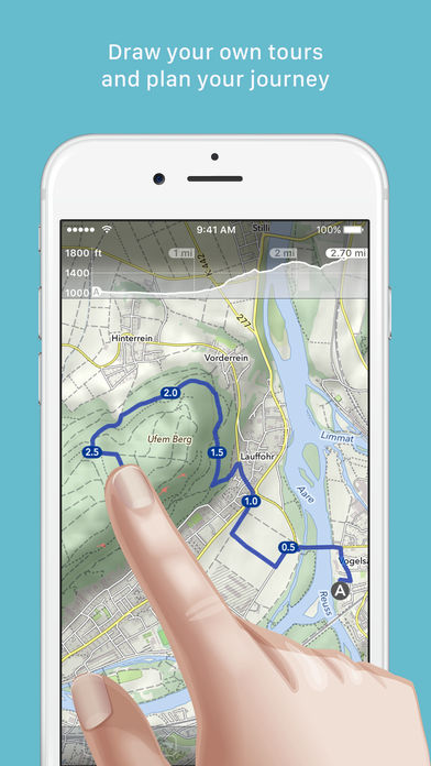
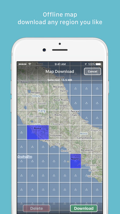
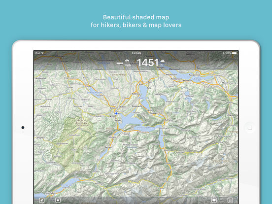
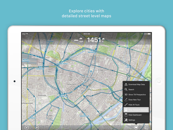
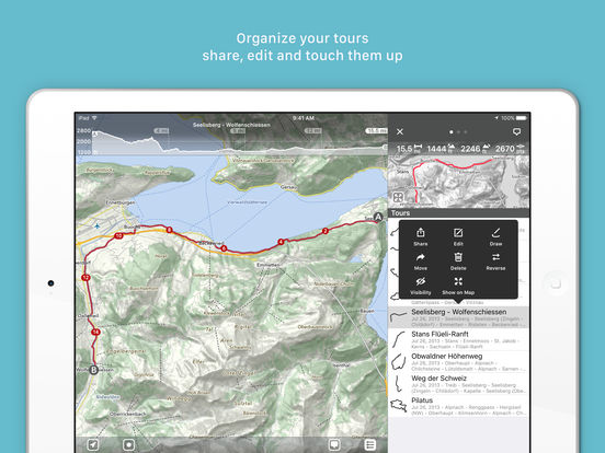
MapOut saves the day by using a simple interface to draw routes, and check out elevation profiles Im pretty blown away by its capabilities. Alee from cyclingabout.comOffline map covering the whole world - for hiking, biking or as city map- Draw your own tours on the map - snap them to road network- Add your own waypoints- 3D tilt view, tilt your device and get an instant feeling about the surrounding terrain. Map data OpenStreetMap contributors (http://www.openstreetmap.org/copyright)