MapIT Pro!
-
Category Productivity
-
Size 10.3 MB
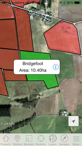
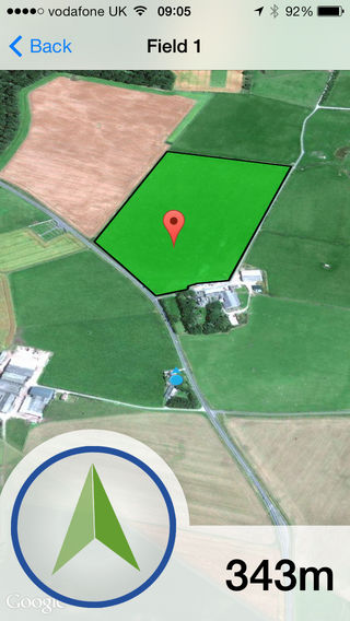
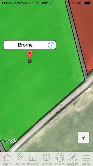
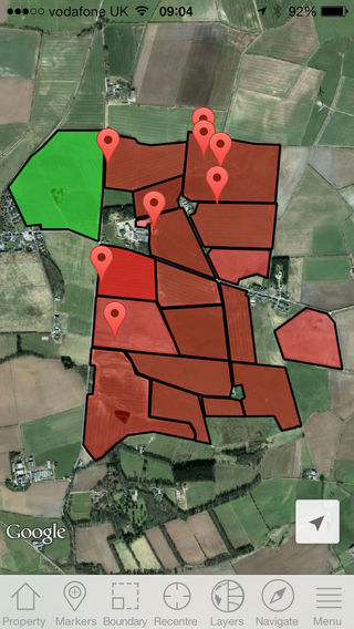
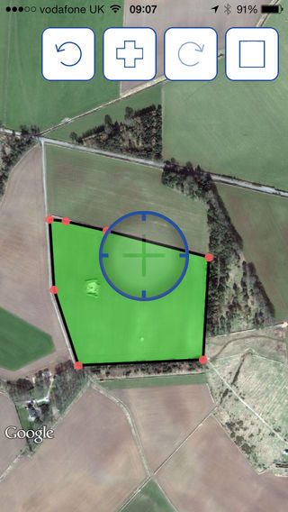
MapIT Pro has been designed as a field scout tool to compliment Axis from Agrovista. Axis is an online hub that brings many elements of agricultural information into one place, the mapping section within Axis allows you to handle all data relating to Precision Farming from soil sample to yield data. Features of the app:- Add fields and automatically log boundaries or areas as you go- Manually add field boundaries or areas with an intuitive online drawing tool- Farms and fields set up on Axis will be downloaded to the app for offline use- Add GPS points, these may be weed patches, disease, poor areas of crop, drainage point, fully customisable- Stand in an area and automatically circle a noteworthy area- Measure a temporary area- Measure a distance between points- Navigate yourself on the road to a field using the built in iPhone sat nav functions- Navigate yourself to a field or point using the compass arrow and metre countdown feature- Send directions to fields and points via email to open in a web browser- Export boundaries in .csv format- Synchronise all captured data back to Axis