Map Pilot for DJI!
-
Category Utilities
-
Size 41.2 MB
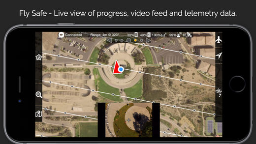
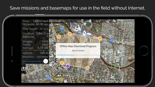
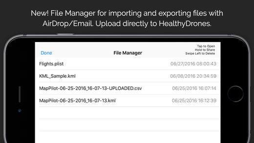
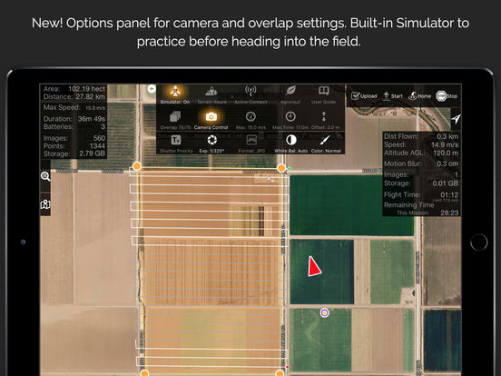
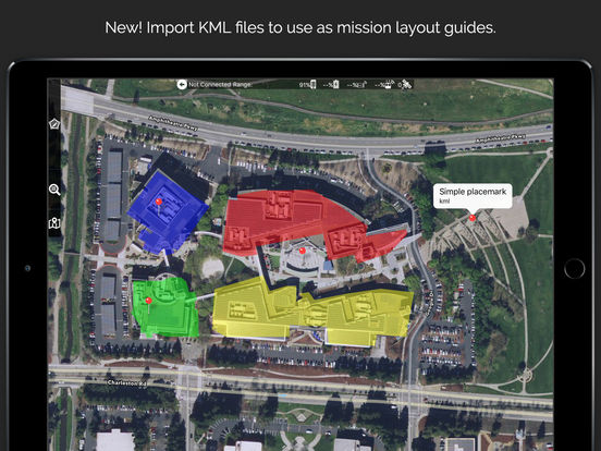
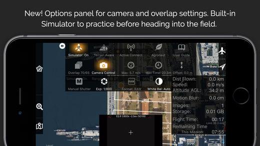
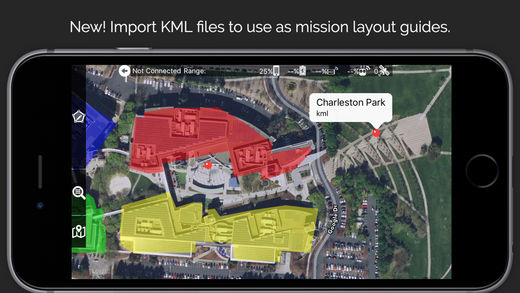
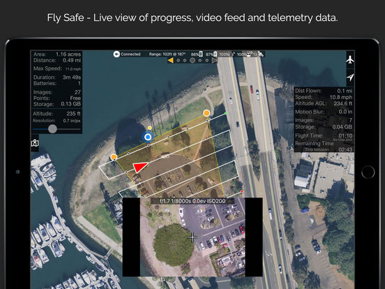
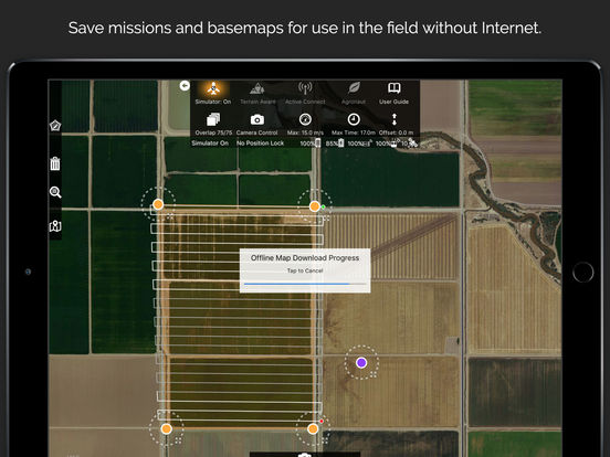
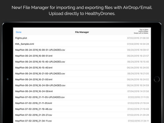
Map Pilot helps you create and fly the optimal flight path to create great maps using the Maps Made Easy map processing service. Collecting great data to create high resolution aerial maps with your DJI flying camera is just a few clicks away. Features: Terrain Awareness Multi-Pass Linear Mission Planning Multi-Flight Coordination Multi-Battery Management Automatic, Shutter Priority and Manual Exposure Modes Basemap Caching for Offline Operations Connectionless Camera Triggering External Map Data and Markers via MapBox Terrain Aware Image Footprint Display Save/Edit Missions Refly Saved Missions View 3D logs on-device with Google Earth Import KML via Email or AirDrop Export KML, log files, and Flights file via Email or AirDrop Flight Log review Built-in Simulator for testing HealthyDrones upload from Log File Manager RAW imaging available via In App Purchase Fullest Possible Use of Each Battery Appropriate Camera Triggering Overlap Management Speed Management Automatic Takeoff and Landing Live Video Preview (large and small) Signal Quality Warning Line of Sight Indicator Automatically Captures Elevation Reference Image (Ground Image) Natural Landing Assistance Live Map ViewCompatible with iOS 8, iOS 9, and iOS 10.Supported Aircraft: Inspire 2 w/X4S and X5S Phantom 4 Pro Phantom 4 Advanced Phantom 4 Mavic Pro Phantom 3 Professional Phantom 3 Advanced Phantom 3 Standard Inspire 1 Inspire 1 Pro Matrice M100 Matrice M200 Matrice M600