Interactive Earth!
-
Category Education
-
Size 956 MB
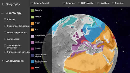
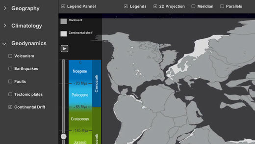
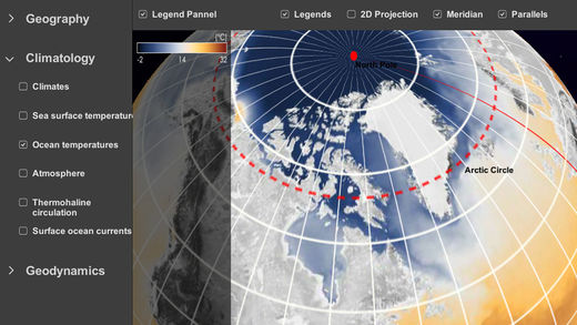
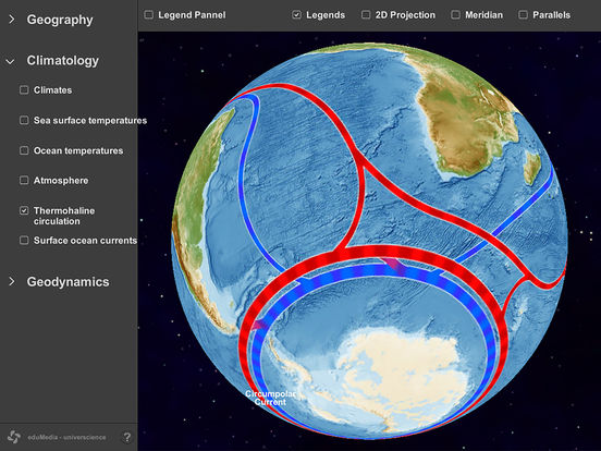
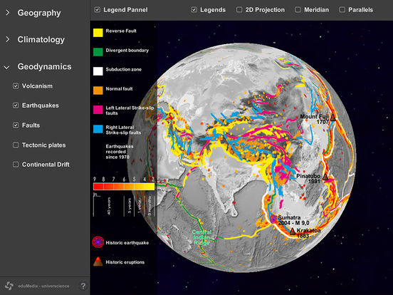
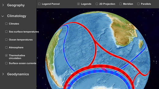
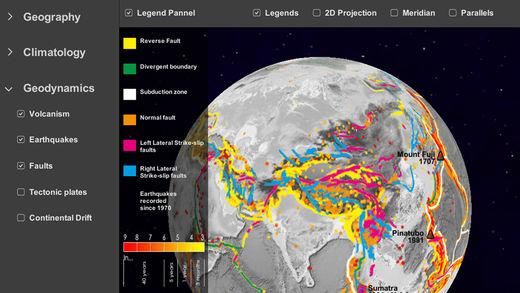
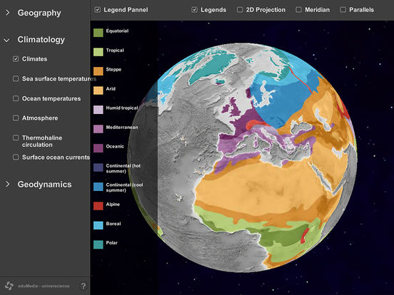
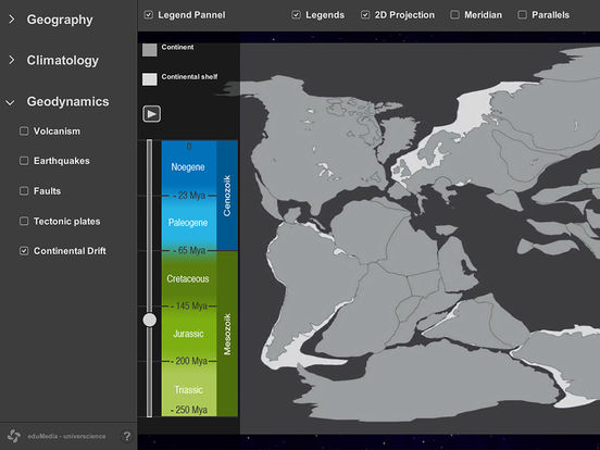
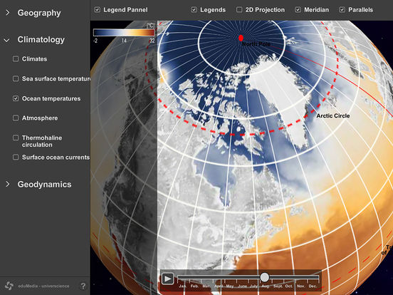
What did Earth look like 200 million years ago? Are Volcanoes and Earthquakes Related?Interactive Earth is an interactive tool for tablet that allows you to explore geography, climates and geodynamics. Available maps:Geography: Topography, Oceans and Seas, Rivers and Lakes, Snow and ice(*), Vegetation(*), Deserts, MountainsClimatology: Climates, Continent temperatures(*), Sea surface temperatures(*), Atmosphere(*),Thermohaline circulation (*), surface ocean current Geodynamics: Volcanism, Earthquakes, Faults, Tectonic plates, Continental drift(*)(*): Animated map