InfraMarker!
-
Category Utilities
-
Size 50.5 MB
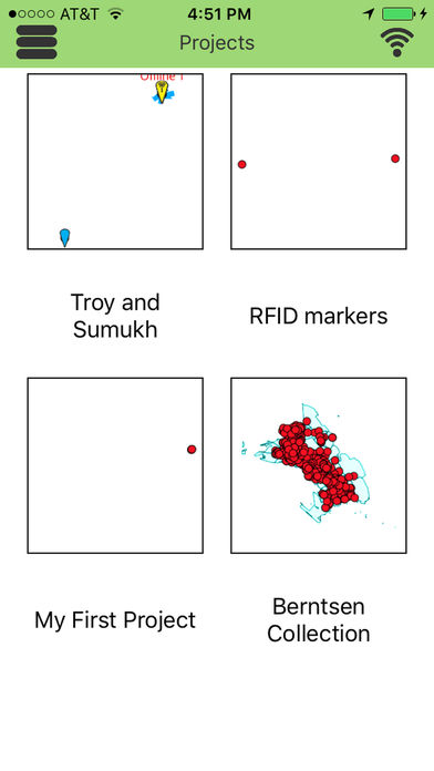
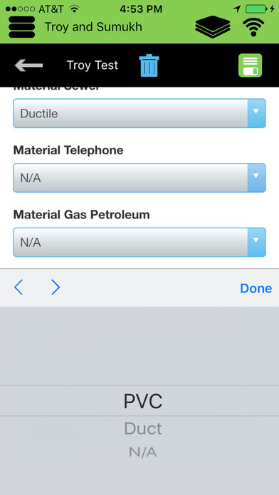
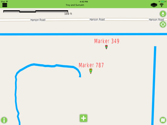
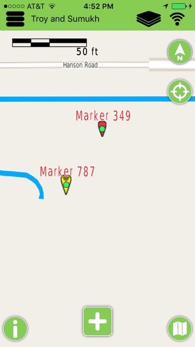
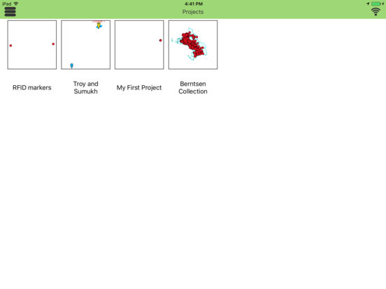
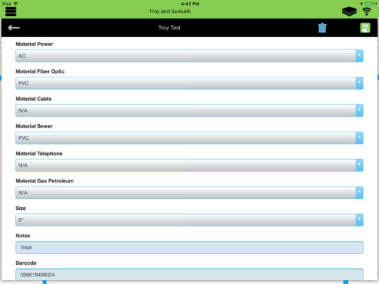
InfraMarker is Next Generation Mobile GIS (Geographic Information System).Simple, Yet Advanced, Data Collection and Visualization. InfraMarker makes it easy to visualize, collect, edit and share large geospatial datasets using standard smartphones and tablets even when offline. Continued use of GPS running in the background can dramatically decrease battery life.