HemaExplorer | North America Off Road Navigation!
-
Category Navigation
-
Rating 1.66667
-
Size 156 MB
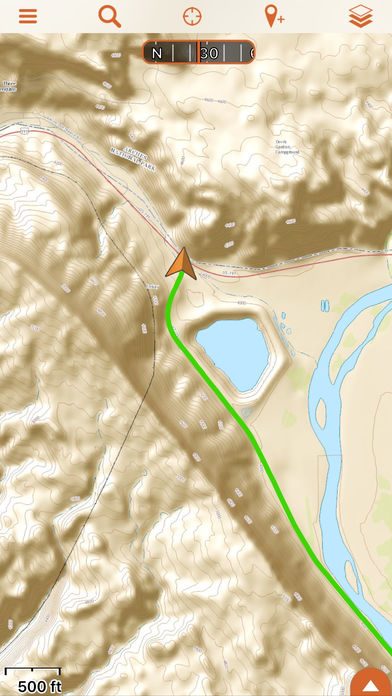
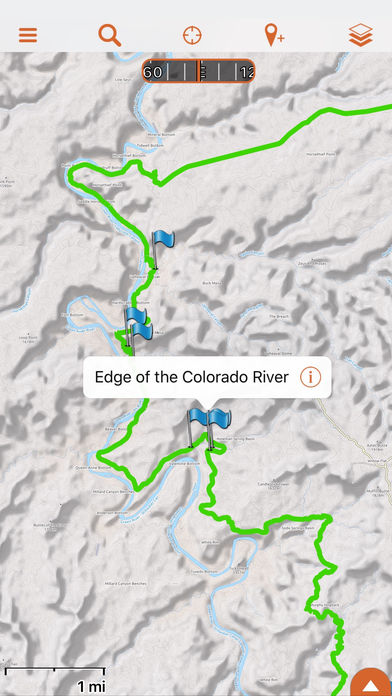
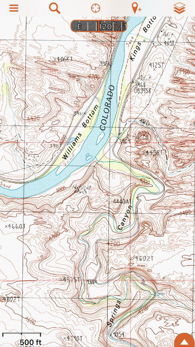
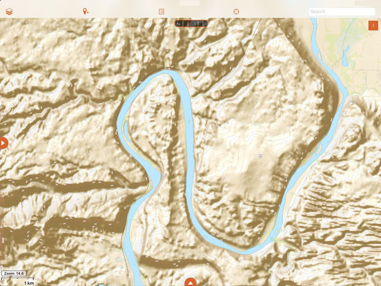
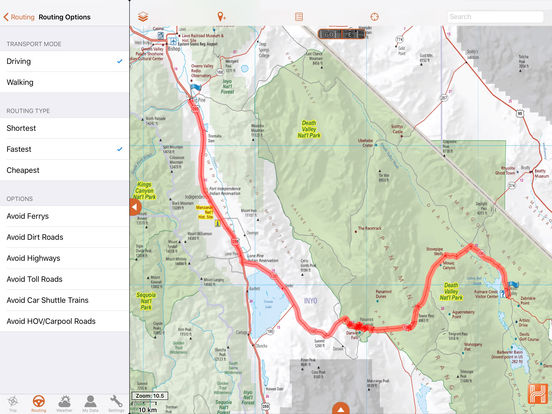
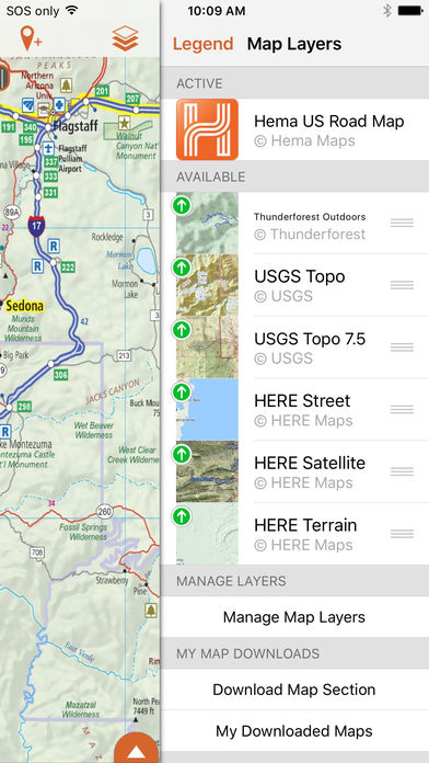
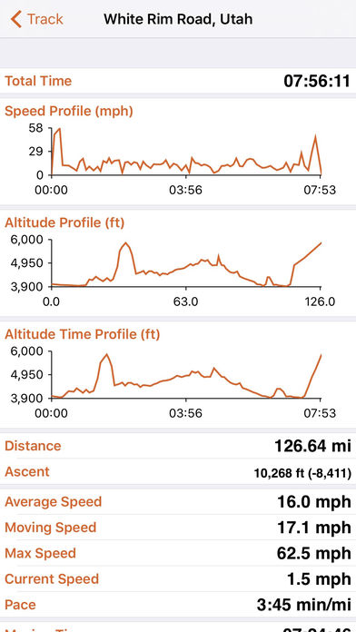
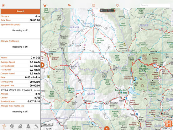
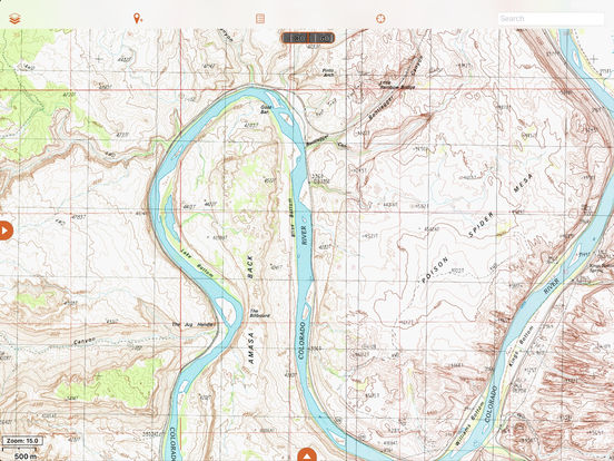
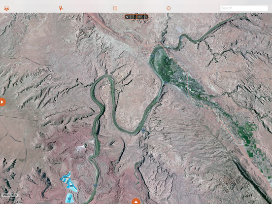
Plan, navigate and share your next 4x4 or overland adventure through the United States and Canada with the Hema Explorer overland navigation app for North America: Track your GPS position in real-time on offline maps Use trusted topographic mapping to explore North America backcountry: USGS Topo, Thunderforest Outdoors and Canada Topo Use additional street and touring maps for navigating populated areas: Hema USA Road Map, HERE Street and Canada Street mapping Generate an offline route to an address or waypoint using Quick Routing Save a log of your trip with track recordings, geotagged photos, waypoints and trip notes Backup all your trip data to your free Hema Explorer Cloud account which you can share with the Hema Explorer community Share your trips online with friends and familyPLANGenerate a route line to an address or waypoint using Quick Routing, manually create point-to-point routes, or mark important locations using waypoints to plan your journey in full. You can even organise your data for each specific trip by saving it to an individual folder, allowing you to keep all your downloaded maps, waypoints and routes in one place. Note: Continued use of GPS running in the background can dramatically decrease battery life.