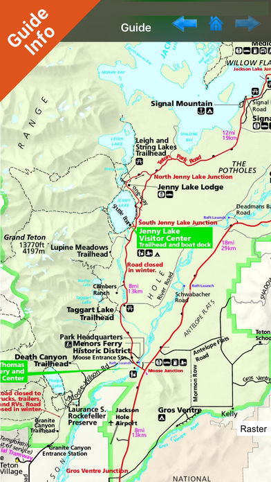
Grand Teton National Park - Standard!
-
Category Travel
-
Rating 3.95455
-
Size 30.1 MB
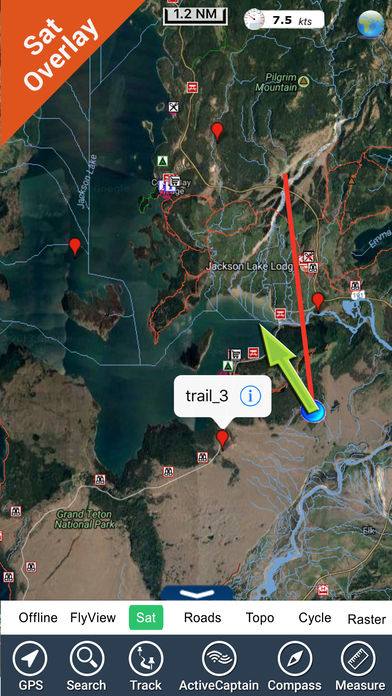
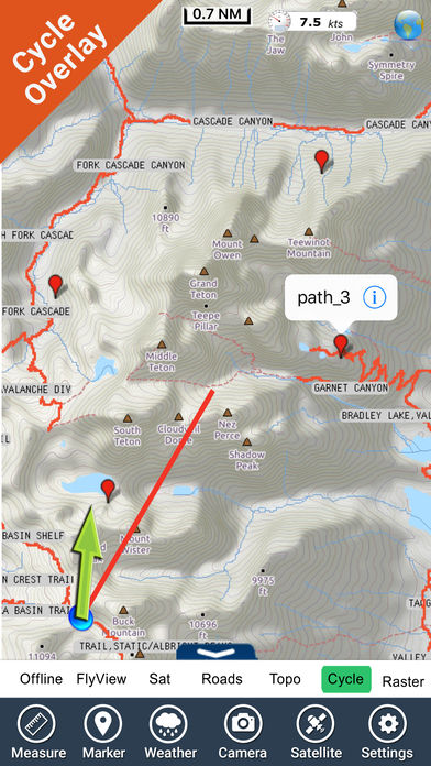
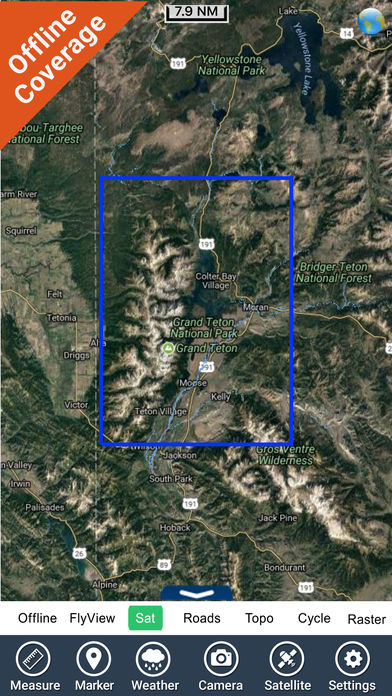
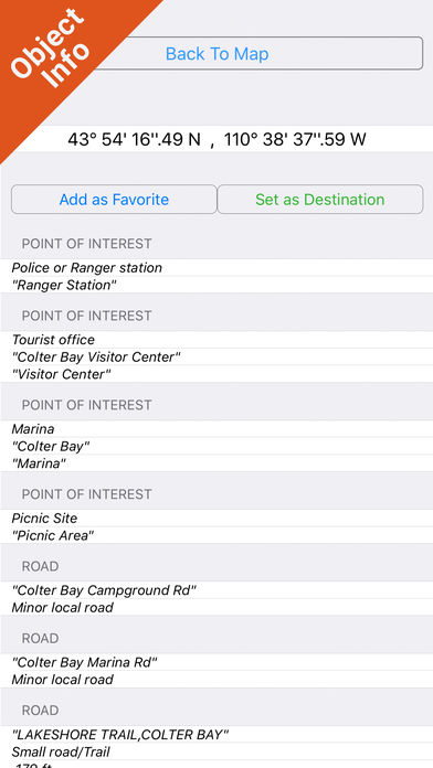
Download any FlytoMap application for Free By purchasing FlytoMap All-in-One App. Watch Flytomap GPS app video on www.appreview.com and www.youtube.com >>>>>>>>>>>>>>>>>>>>Latest Version 2.3>>>>>>>>>>>>>>>>>>>>Two versions available for this park:Standard - With less than 10MB & no Wifi connection requiredTopo - With all details (Elevation Contours with 10 meters step)* New in this Map: Navigation CompassFlytoMap provides complete, quick and easy to use map applications for navigation for iphone. We work to delight your moments Enjoy great Journeys Charts Edition: 2011Keywords: Navigation, speed boating, sailing, diving snorkeling resort geocache, waypoints, mapping, topo chart, Parks, gps, satellite, direction, hiking, tracking, camp, walk, run, driving, car, bike, cycle, ocean, latitude, longitude, trailsEmail us to [email protected] for further feedback/suggestions.Continued use of GPS running in the background can dramatically decrease battery life.