Globe Earth 3D!
-
Category Education
-
Size 79.4 MB
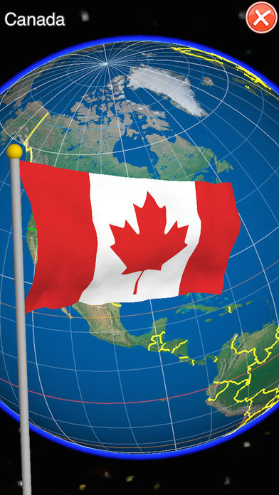
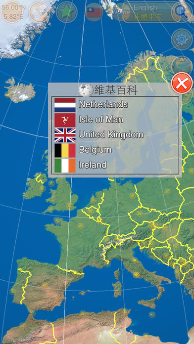
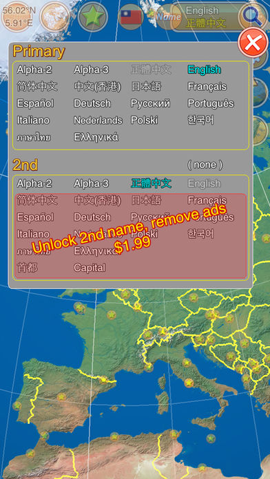
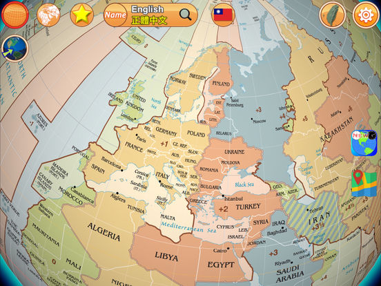
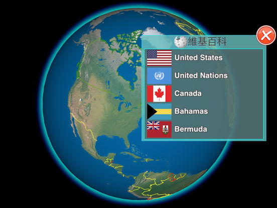
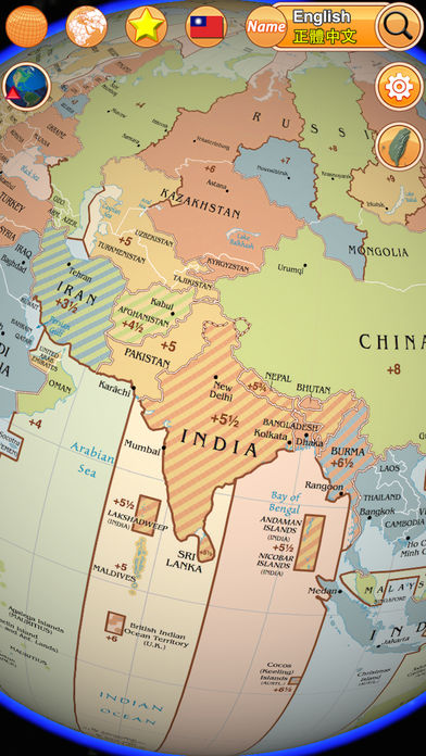
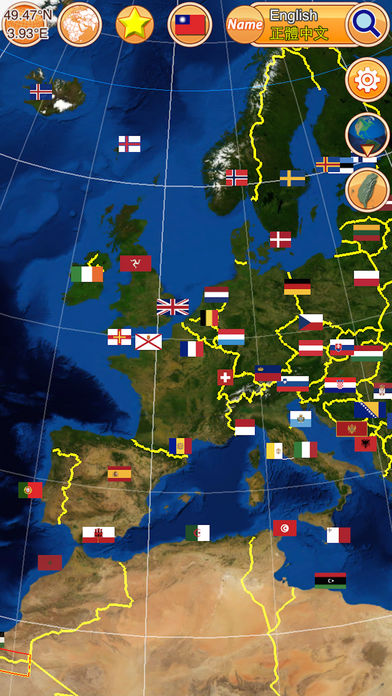
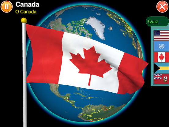
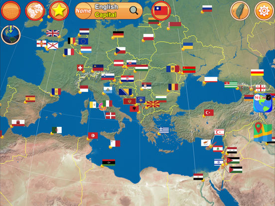
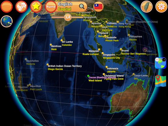
designed to engage the curious as well as entertain the seasoned Vexillologist. Worthy of a 5 star rating. Display both names with different languages, and adjust font size Gesture Control Tap: focus to center Double-Taps: link to Wikipedia, or choose flags Pinch: zoom in/out, rotate Slide: move viewer rotate-north-up toggle Feature World time zone map (with sea, ocean) High quality texture-maps for 3D earth 300 Realistic flags by real-time render 220+ national anthems (need to download from internet) Custom your own anthems(.mp3) in Documents folder via iTunes Support Landscape and Portrait mode Boundary, name, and flag info (by ISO 3166-1 with 249 countries) Disputed areas by red-outline Included ISO 3166-1 alpha-2, alpha-3 code Included 50 states of USA, United Nations, European Unions, and some geopolitical entities Longitude/Latitude display (with equator, tropical, and polar) Smoothly control by gesture: tap, double-taps, pinch, slide Search tool by name Show your location on earth Offline browse is OK. (except to link to Wikipedia) InAppPurchase: Unlock 2nd name and remove ads Special Thanks Naaty Design, http://www.content-pack.com Visible Earth, http://visibleearth.nasa.gov Natural Earth, http://www.naturalearthdata.com Tom Patterson, www.shadedrelief.com Bullet Physics Library, http://bulletphysics.org Wikipedia, http://en.wikipedia.org/wiki/Main_Page nationalanthems.info, http://www.nationalanthems.info Any comments:http://www.facebook.com/pages/Heres-TaiwanEarth/499163726790748