GPS to Maps!
-
Category Utilities
-
Size 60.9 MB
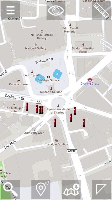
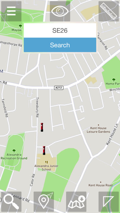
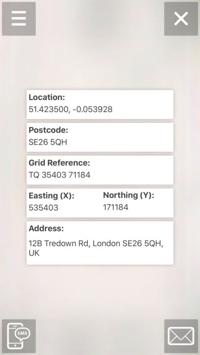
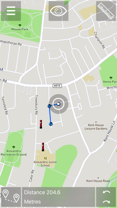
GPS to Maps is an iPhone app that converts the location information in Great Britain between several location formats. Main Features: convert location information between: GPS (WGS84) - GB Grid - Irish Grid - ITM Grid - UK Post Code ability to use iPhone GPS to obtain the current GPS location to be converted into supported formats ability to specify the location in any of the supported formats and convert it between those display the location on the Map View display nearest Post Codes on the Map View display nearest Post Codes as Augmented Reality view use simple distance and area measurement tool on the Map View online Maps and off-line Maps functionality available ability to send the full location information by email or text message email html formatted, including GMaps URL link showing the relevant location QRCode with GMaps URL link included in the email message gpx file with location data is used for data interchange (included in the email message)