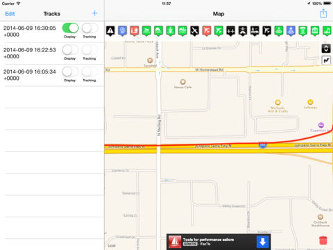
GIS Viewer!
-
Category Productivity
-
Size 27.8 MB
Imports gis files generated from other tools and generates its own gpx by tracking location ; imported files con be viewed together , to allow comparation. Generated and imported files can be exported.currently supported formats ( via gdal/ogr library ):- gpx- shape files ( shp , dbf and accessory files compressed in same directory in a zip file ) This app uses gps in background when tracking is active. Continued use of GPS running in the background can dramatically decrease battery life.