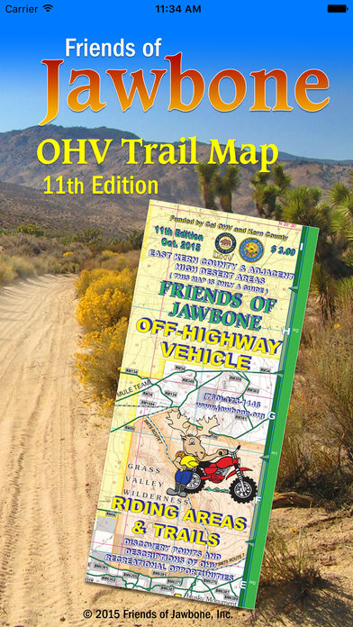
FOJ OHV Map!
-
Category Navigation
-
Size 205 MB
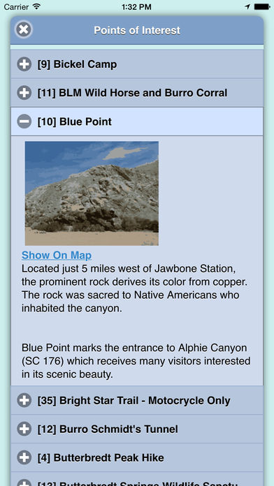
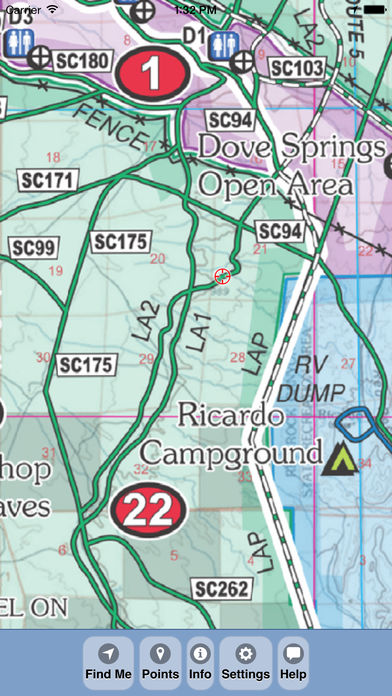
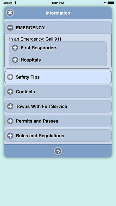
The FOJ OHV Map brings the popular 11th print edition Friends of Jawbone OHV Trail Map to your iPhone, iPad or iPod Touch. View the map in several zoom levels and navigate to your favorite Jawbone Canyon area destinations. Featured within the app are: OpenStreetMap background layer can be turned on or off Zoom and scroll across the map Find your location (iPhones and cellular iPads only) Track your movement across the map (iPhones and cellular iPads only) Find and navigate to 38 back country destinations and points of interests Obtain emergency and other contacts Find local services such as fuel, lodging and food Learn area OHV rules, regulations, and safety tips Legend of symbols on the map