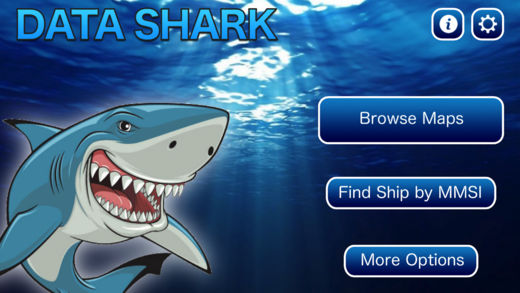
Data Shark AR!
-
Category Utilities
-
Size 24.5 MB
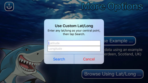
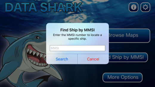
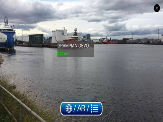
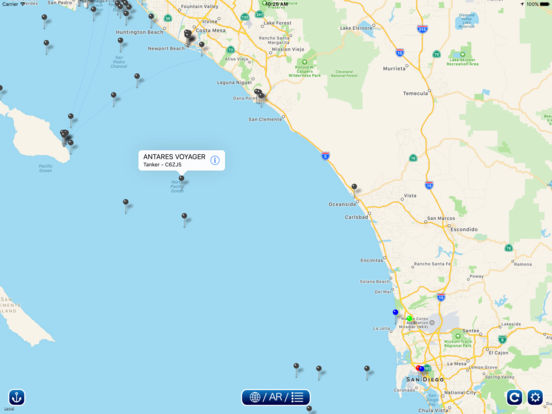
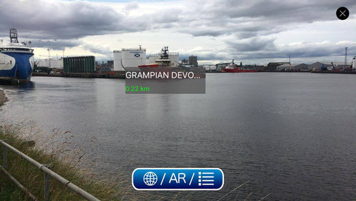
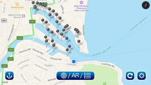
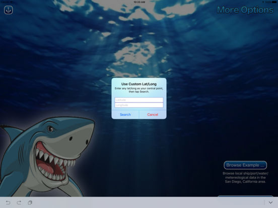
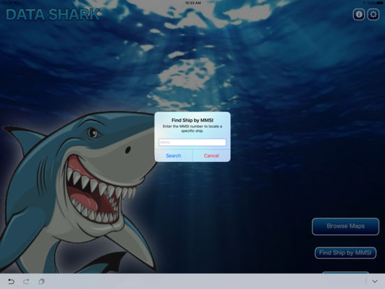
WELCOME TO BIG OCEAN DATA AUGMENTED REALITY STYLEData Shark takes open-source big ocean databases and visualizes the data in Augmented Reality, right on your screen Simply hold up your phone in AR mode to the ship or body of water (or anywhere) in front of you and view ship data and distance instantly MULTIPLE MAPS- View ships in traditional flat map mode- View ships in advanced Augmented Reality (AR) modeSEARCH BY MMSI OR LAT/LONG- Enter a ships MMSI number and locate it anywhere in the world- Enter any latitude/longitude and see ships/ports/water/meteorological data in that area, within up to a 200km radiusMORE DATA COMING The Data Shark app is a proving ground for viewing real-time, near real-time, or static Big Ocean database sets in Augmented Reality. We can turn almost any data set that includes location info. The possibilities are truly incredible We hope you enjoy our app