Cogo data collection!
-
Category Utilities
-
Size 7.0 MB
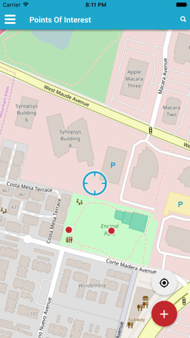
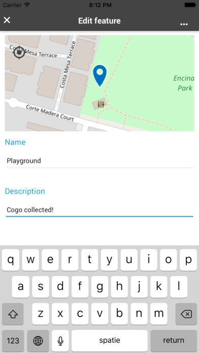
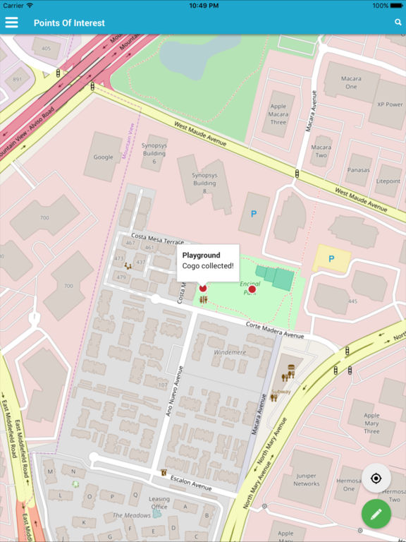
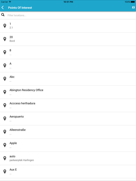
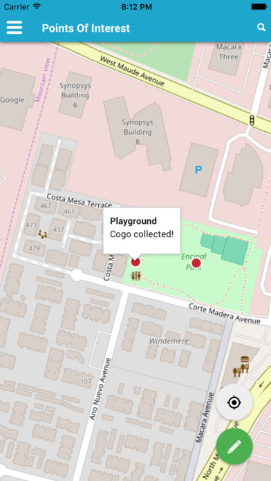
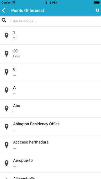
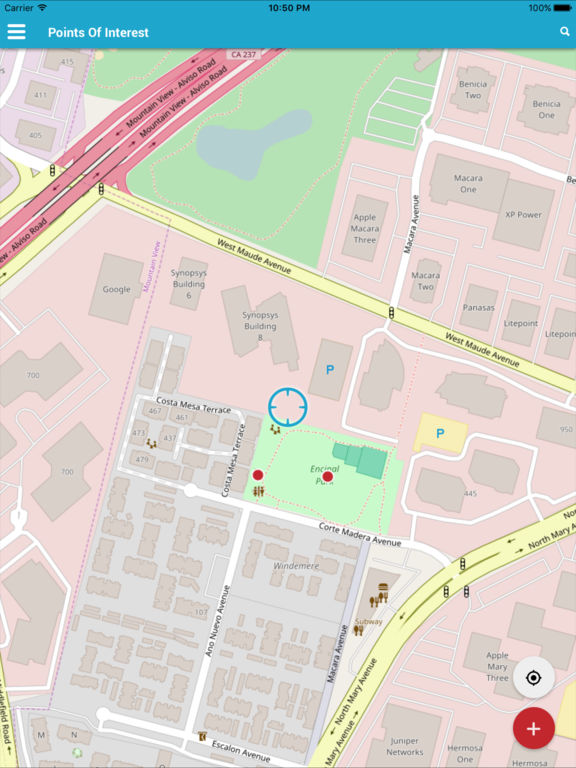
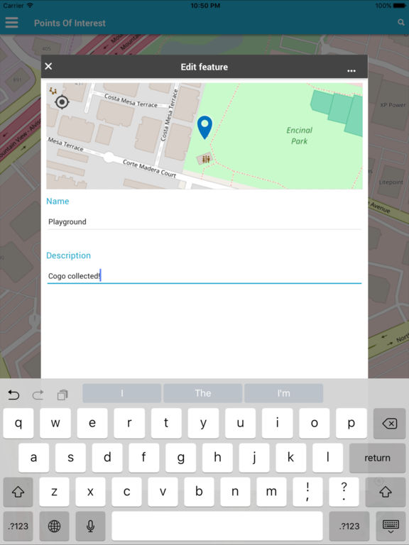
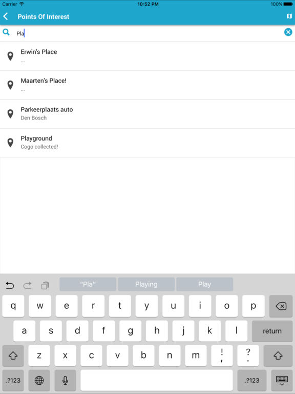
Collect & manage field data for any location, store directly in your GIS server. Cogo is a simple and easy solution for real-time field location and attribute data collection. Features: * Collect and update Spatial Data, using the map or GPS* Fill out easy-to-use map-driven forms* Customize Your Own Data Collection Forms* Your data syncs directly to your WFS-T server* Attach photos* As easy as Google MapsWork together* Data collection with multiple users* Invite users and grant accessPrivacy* Your data is stored directly in your own GIS server, no strings attached* Cogo doesnt track you or saves your data locallyTechnology* Works with WFS-T compliant services such as GeoServer, ArcGIS server or TinyOWS* Works if you dont have a GIS serverCogo is aiming to be helpful in a number of applications including:* Environmental surveys,* Woodland surveys,* Forestry planning and woodland management surveys,* Agriculture and soils types surveys,* Road constructions,* Land surveying,* Solar panels applications,* Roofing and fencing,* Tree surveys,* GPS surveying,* Site surveying and soil samples gatheringIf you are surveyor of any kind please check out this app and discover how it can save your time.