Cartograph Pro Map Viewer!
-
Category Navigation
-
Size 56.1 MB
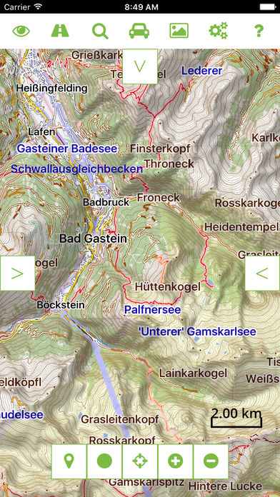
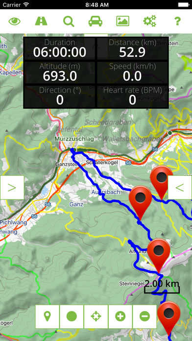
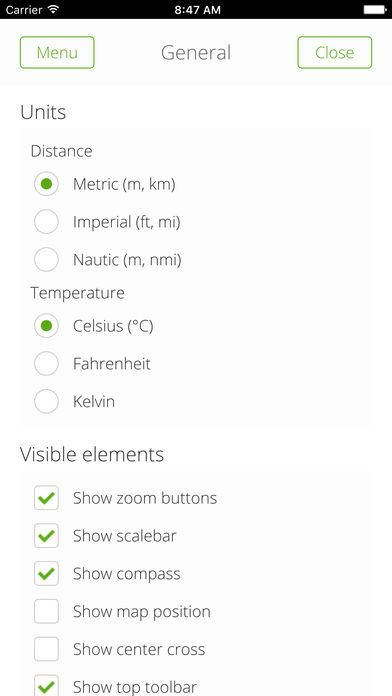
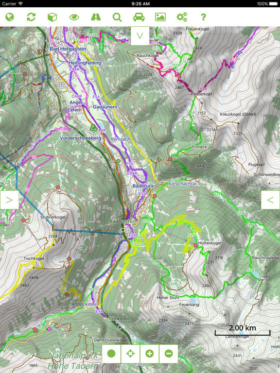
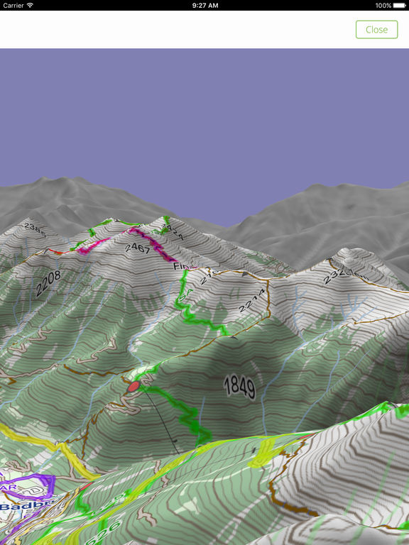
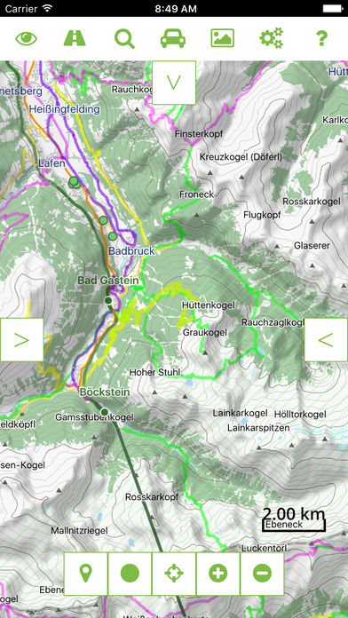
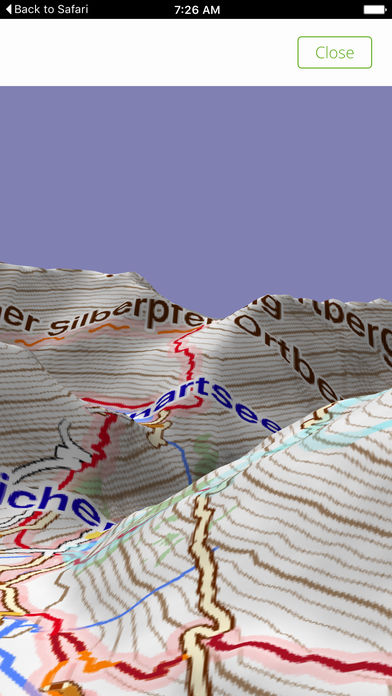
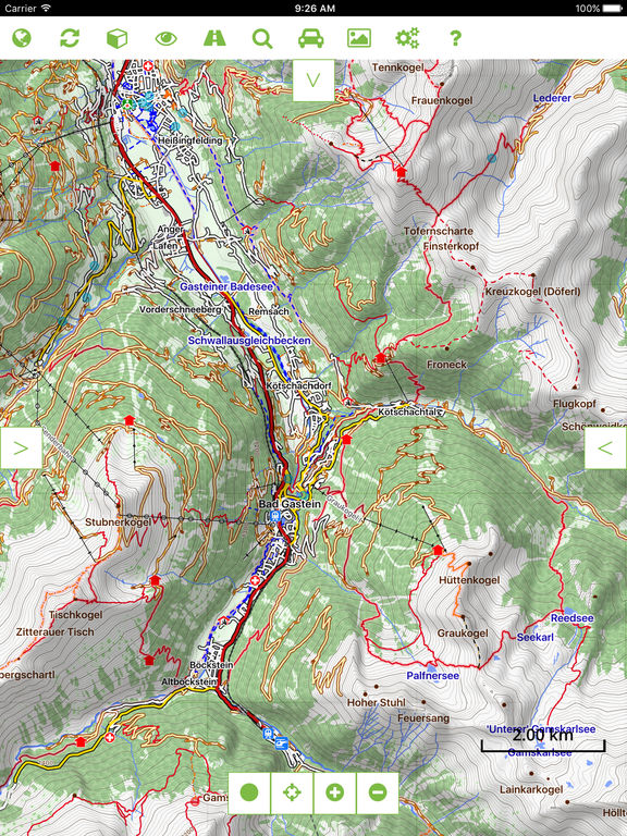
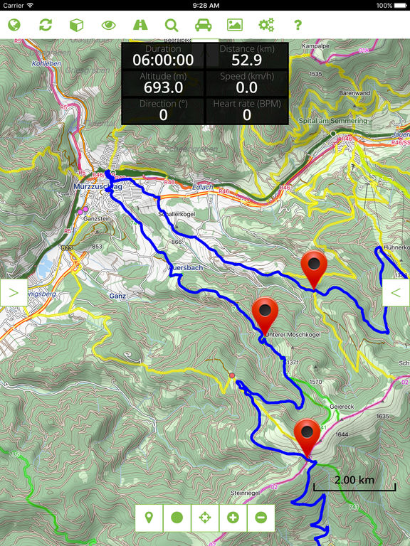
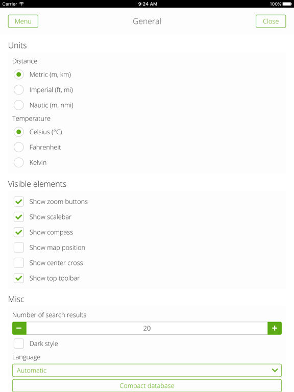
The Cartograph app views offline and online maps, supports track recording, editing, and live tracking. The app also supports the popular Mapsforge format, as well as SQLite based raster maps such as mbtiles and rmap (Locus).Web: http://www.cartograph.euHelp: http://www.cartograph.eu/help/ Features- View offline and online maps (slippy tiles and WMS/Web Map Services based on WG84/EPSG-4326/900913).- Support for Mapsforge (0.7) offline vector maps and Mapsforge themes (V6, including customized style layering).- MBTiles, and rmap (Locus) offline raster maps.- GPS tracking.- Customizable trip computer.- Support for metric, imperial, and nautic units.- Text-, photo-, and audio- waypoints.- Show multiple tracks at the same time.- Support for 2nd map layer which can be used for overlay maps (e.g. OpenSeaMap), hillshading, etc.- Online route and address search.- Simple chart, statistics, distance measurements.- Mapsforge multi-maps (combine multiple maps into a single one, e.g. around country borders).- Support for Bluetooth 4 BLE heart frequency and cadence devices (for instance Polar H7 belt).- A 3D view gives a 3D snapshot of the current location.- Experimental ( ) support for offline hill shading based on Nasa SRTM elevation data.- Support for offline overlays (drinking water sources, restaurants, supermarkets, hostels, custom overlays).- Basic track drawing and editing feature.- Live tracking: send your current location to a custom webserver* via HTTP GET or GPSies service.- Live polling: poll other users location from a custom webserver* via HTTP GET and show it in the map. *The webserver implementation is not part of the Cartograph app Disclaimer Continued use of GPS running in the background can dramatically decrease battery life.