Aviation Weather Graphics!
-
Category Weather
-
Size 2.0 MB
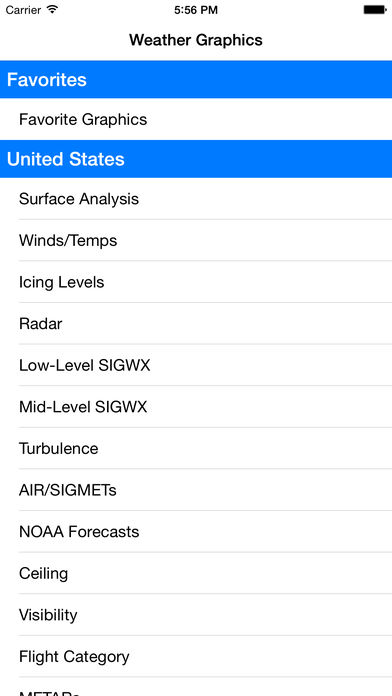
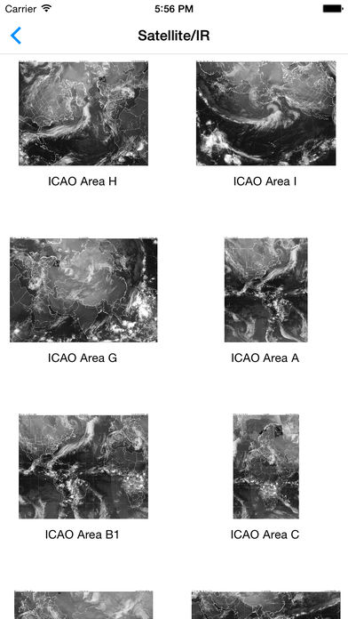
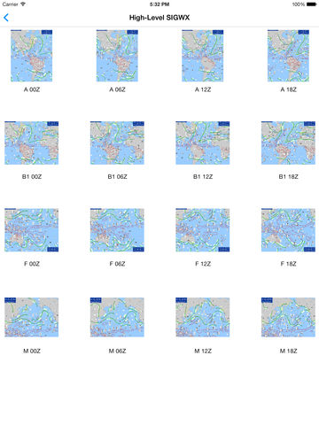
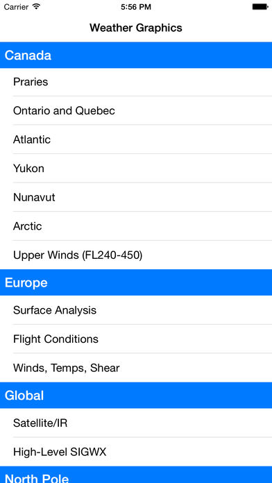
Aviation Weather Graphics provides HUNDREDS of weather graphics from all across the world Quickly add graphics to your Favorites list for one touch access Also included is a powerful viewer to swipe between images, pan and zoom, and share images Aviation Weather Graphics offers the most comprehensive set of aviation weather graphics for pilots, including:- Surface Analysis- Winds and Temperatures- Icing Levels- Static Radar- Low/Mid/High-Level SIGWX- Turbulence- AIR/SIGMETs- NOAA Forecasts- Ceilings- Visibility- Flight Category- METARsSeparate categories provide very detailed graphics for:- United States (provided by the NOAA by region)- Canada- Europe- North Pole- South Pole- GlobalIf you would like to see more graphics added, just drop us an email