Austrian Map Mobile!
-
Category Navigation
-
Size 41.0 MB
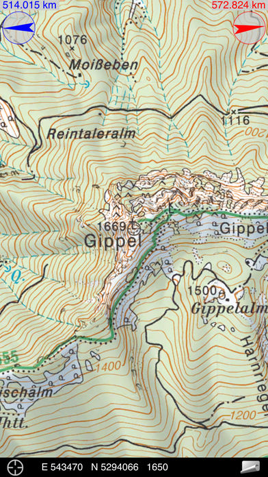
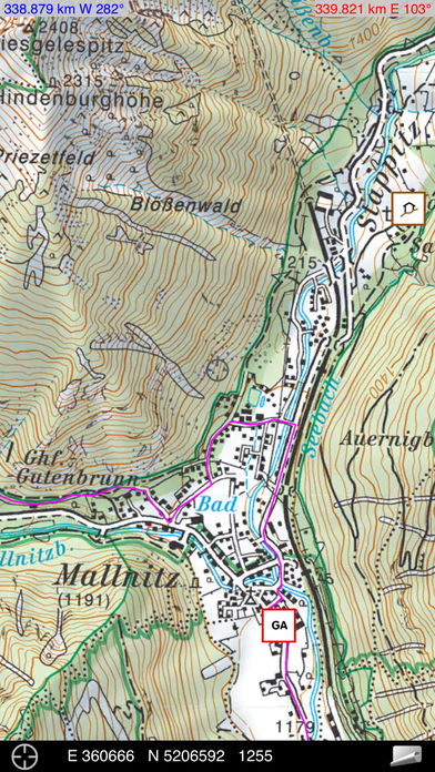
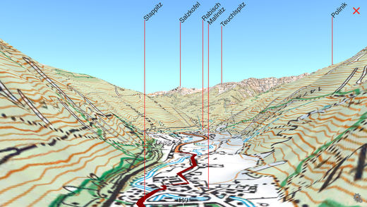
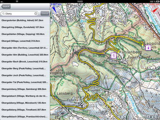
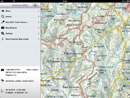
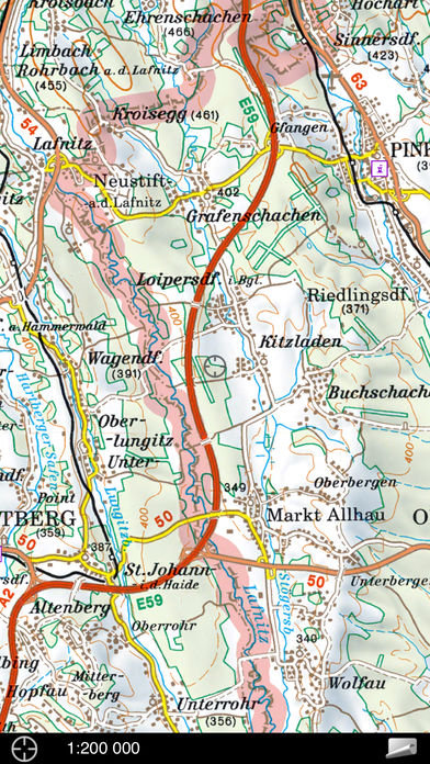
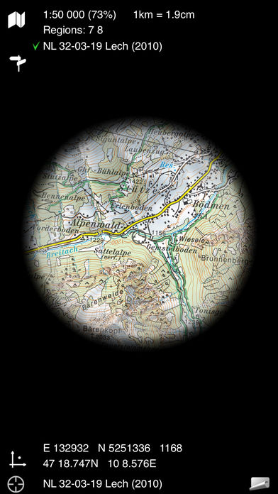
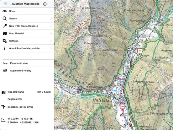
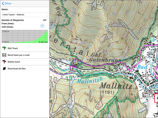
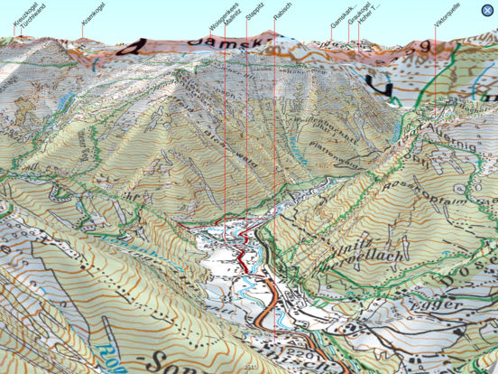
The Austrian Map mobile (AMap mobile) contains the digital maps of Austria including hill shading, geographic names database Geonam and the digital elevation model. This digital product of the Bundesamt fr Eich- und Vermessungswesen (BEV) offers high quality topographic maps and a user-friendly interface with extensive functionality. Functions of Austrian Map mobile:* Search by toponym or search by coordinates* GPS features: Display of the location, moving map, compass support, routing along tracks* Panorama function, and Augmented Reality* Insert, edit and share POIs (Points of Interest)* Recording, editing and exporting tracks (tracks can be imported into AMap Fly)* Measuring distances* meta data about the used map sheets Continued use of GPS running in the background can dramatically decrease battery life.