ANWB Nautical Charts!
-
Category Navigation
-
Size 625 MB
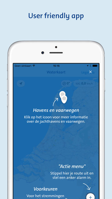
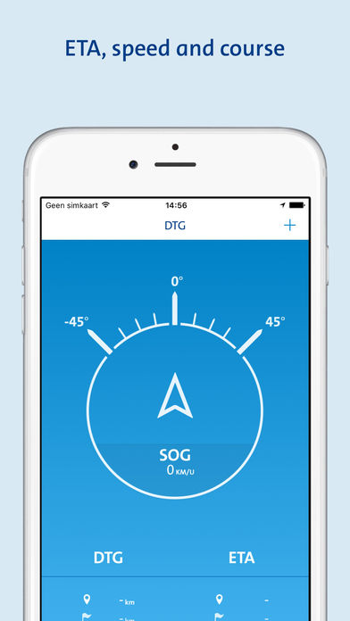
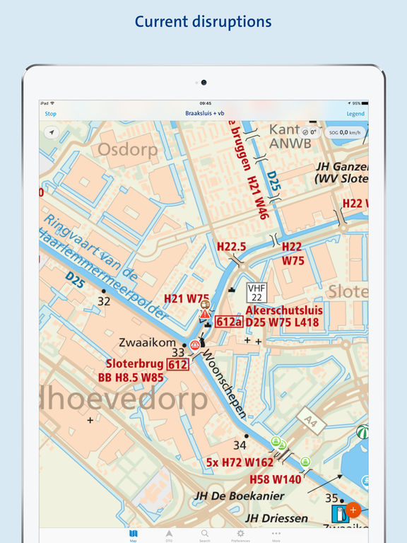
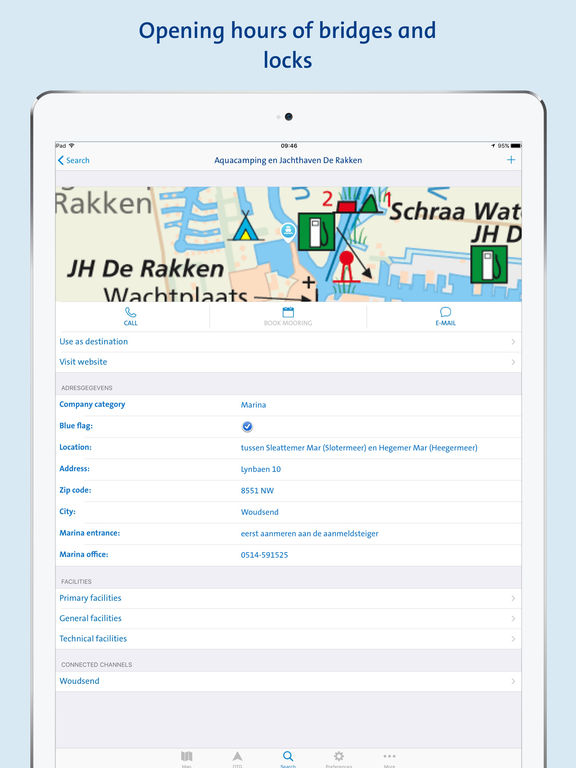
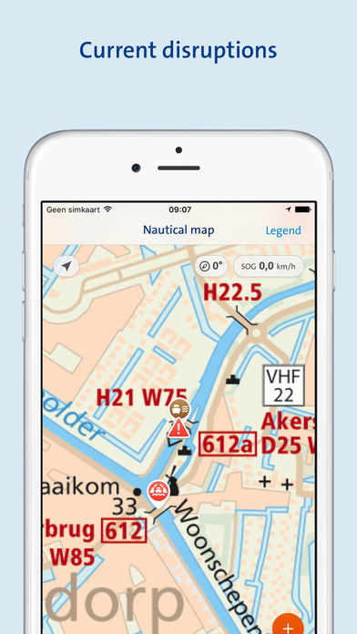
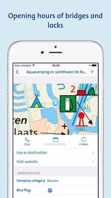
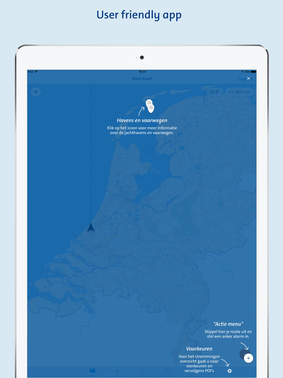
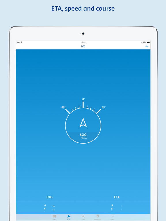
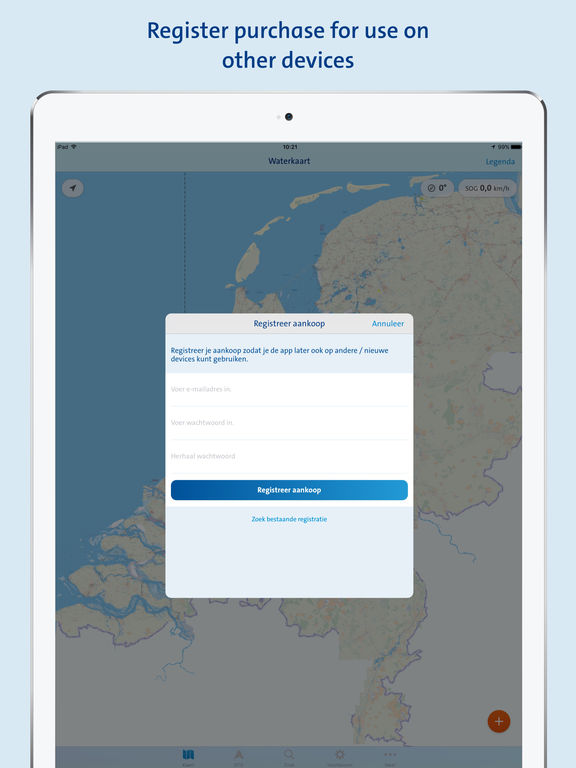
In addition to this official ANWB Waterways Maps app, you can always check the ANWB waterways maps and the Water Almanak Part 2 (navigation information).- Marina locations and details of marina facilities.- Information on waterways.- Opening times of bridges and locks.- Enter a destination and immediately receive the navigation direction, DTG, ETA and SOG.- All offline data. No data connection required during use.- Waterway obstruction information from the Netherlands Directorate-General for Public Works and Water Management.- Junctions of Boating is a joint activity (Varen doe je samen).- Take a picture and/or make a note on-site and add it to the waterways map. Send them to [email protected] and type Waterways Maps App in the subject line.