-
Category Education
-
Size 25.9 MB
Geopark Karawanken-Karavanke is a geological park straddling the border of Austria and Slovenia. It includes parts of the Austrian Province of Carinthia and the Slovenian Region of Koroka in the southeastern zone of the Karawanken mountain range. These maps can then be used offline too.
Geopark Karawanken alternatives
geotimescale 2
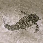
Now a Universal app for iOS 9.Need a quick reference to the geologic time scale of Earths history? Find out, for example, when dinosaurs ruled the world or when reptiles first appeared. Touching each of these icons reveals additional information about which phenomenon occurred at that time such as the extinction of the dinosaurs at 66 Ma.
-
size 8.8 MB
iGeology
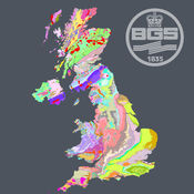
iGeology - Interactive geological mapping of the UK.iGeology is for anyone who wants to explore their local geology, at street-level scale, virtually anywhere in the UK.Amateur geologists, walkers and gardeners can look at whats in their local area, to find out about the rocks at the surface (superficial deposits) or the bedrock beneath. Search on place names or the postcode where you live, then click on the map and reveal the rocks beneath your feet. Only 1:625 000 scale data is available for Northern Ireland.
-
rating 5.0
-
size 68.5 MB
EarthViewer
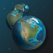
What did Earths continents and oceans look like 250 million years ago, or even 1 billion years ago? What do we know about the climate back when our planet formed? Since teachers play a pivotal role in launching the careers of future scientists and in helping the public understand the beauty and import of science, the BioInteractive team partners with the teaching community to create and distribute media that is engaging and relevant to the science curriculum.
-
size 113 MB


