-
Category Education
-
Size 184 MB
Different countrys Provinces/State/Region Maps, Flags and InformationThese apps presents information and can also be used as a Trivia Game to test your knowledge of State/Province/Region of your the a particular country from the list bellowInfo like Capitals, Largest Citys, Joined confederationSome countries even have the Coat of Arms (CoA) of the individual provinces52 countries across the 5 appsEurope (30): Austria, Belgium, Bulgaria, Croatia, Czech Republic, Denmark, England, Finland, France, Germany, Greece, Hungary, Iceland, Italy, Kazakhstan, Moldova, Montenegro, Netherlands (Holland), Norway, Poland, Portugal, Romania, Russia, Serbia, Slovakia, Spain, Sweden, Switzerland, Turkey, UkraineNorth America (3): Canada, USA, MexicoSouth America (6): Argentina, Bolivia, Brazil, Chile, Colombia, VenezuelaAsia (8): Bangladesh, India, Indonesia, Japan, Malaysia, Oman, South Korea, UAEAfrica(5): Egypt, Morocco, Namibia, South Africa, Tunisia
Country's Province Maps/Flags/Capitals Info and Trivia alternatives
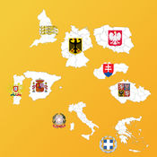
European Country's Province Maps and Flags
Geography application* Flags, Maps, Coat of Arms(COA), Capitals and other info of the States/Regions/Provinces of countries in Europe* Cycle through the list of States or select a specific State* Cycle through the list of Countries or select a specific Country* Quiz on the State/Region/Province Maps, Flags and Capitals for each of the countriesFollowing European countries+ Austria + Belgium+ Bulgaria [NEW]+ Croatia [NEW] + Czech Republic+ Denmark [NEW] + England+ Finland [NEW]+ France [NEW]+ Germany+ Greece+ Hungary [NEW]+ Iceland [NEW]+ Italy+ Kazakhstan [NEW]+ Moldova [NEW]+ Montenegro [NEW] + Netherlands+ Norway [NEW] + Poland+ Portugal+ Romania [NEW]+ Russia [NEW]+ Serbia [NEW]+ Slovakia+ Spain+ Sweden [NEW]+ Switzerland [NEW]+ Turkey [NEW]+ Ukraine
-
size 111 MB
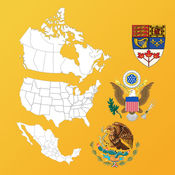
North American State Maps, Flags & Info
* Flags, Maps & info of the States/Provinces of countries in North America* Cycle through the list of States or select a specific State* Cycle through the list of Countries or select a specific Country* Can also take a quiz to test your knowledge of Maps, Flags and Capitals of the statesState/Province Maps and Flags of the following North American countries+ Canada+ Mexico+ USAInfo+ Statehood/Joined confederation day+ Nickname+ Largest City
-
size 33.7 MB
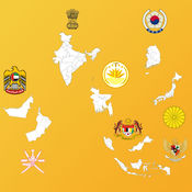
Asian Country's Province Maps, Flags, Info
* Flags, Maps, Info of the States/Provinces of countries in Asia* Cycle through the list of States or select a specific State* Cycle through the list of Countries or select a specific Country* Can also take a quiz to test your knowledge of Maps, Flags, COA and Capitals of the statesState/Province Maps and Flags of the following Asian countries+ Bangladesh+ India+ Indonesia+ Japan+ Malaysia+ Oman+ South Korea+ UAEInfo such as+ Capitals+ Largest City+ Statehood date
-
size 33.8 MB
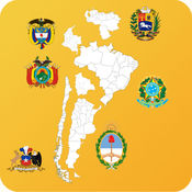
South America Country's State Maps, Flags, Info
* Flags, Maps of the States/Provinces/Departments of countries in South America* Cycle through the list of States or select a specific State* Cycle through the list of Countries or select a specific Country* Can also take a quiz to test your knowledge of Maps, Flags and Capitals of the statesState/Province Maps and Flags of the following South American countries+ Argentina+ Bolivia+ Brazil+ Chile [NEW]+ Colombia+ Venezuela [NEW]
-
size 26.2 MB
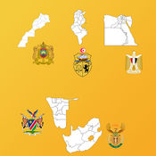
Africa Country's State Maps, Flags, Info
* Maps & capitals of the States/Provinces/Regions/Governorates of countries in Africa* Cycle through the list of States or select a specific State* Cycle through the list of Countries or select a specific Country* Can also take a quiz to test your knowledge of Maps and Capitals of the statesState Maps and Capitals of the following African countries+ Egypt+ Morocco+ Namibia+ South Africa+ Tunisia
-
size 17.8 MB
